Our Drone Survey Process, Step by Step
- Visit the site to define the survey boundary, access points, terrain and any constraints that may affect the planned flight.
- Establish ground control points with DGPS so the aerial outputs can be tied to a controlled survey reference.
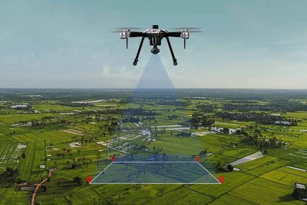
- Fly the planned image grid when weather and applicable airspace conditions allow, maintaining the required coverage for processing.
- Process the overlapping images and ground-control information into the agreed orthomosaic, DEM/DTM and other requested outputs.
- Prepare the CAD base plan, contour or volume outputs where included and issue the processed survey files in the agreed format.