Our Topographical Survey Process, Step by Step
- Start with a site visit to identify the corridor or site limits, access, vegetation and visible features that must be captured.
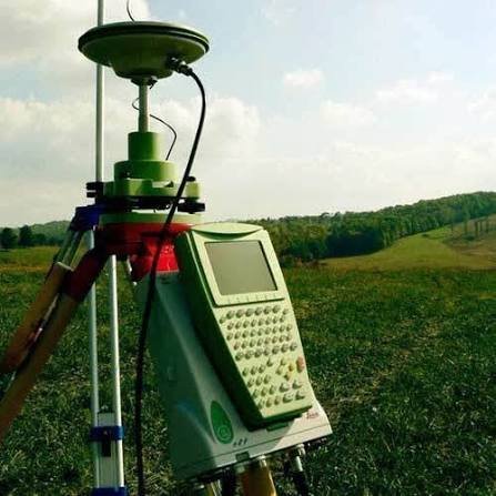
- Establish or verify survey control and benchmarks so the mapped features and levels share a consistent reference.
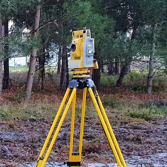
- Collect ground levels and locate relevant roads, buildings, trees, water bodies, utilities visible at the surface and boundaries using suitable field methods.
- Process the observations into the topographical plan, contours and requested terrain or section data.
- Prepare the CAD/PDF plan and the agreed digital terrain, cross-section and longitudinal-section outputs.