Our Layout Survey Process, Step by Step
- Site visit. We study the corridor or site and confirm the scale and detail your tender requires.
- Control points. We fix control with DGPS so every detail ties to one coordinate system.
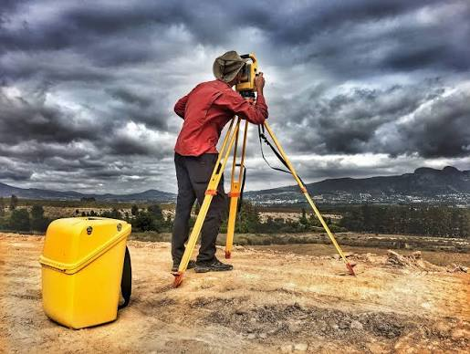
- Field work. Total Station and DGPS capture levels, structures, roads, drains and trees. Drone mapping supports large areas where it is in scope.
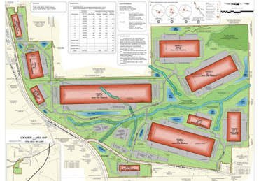
- Data processing. Points are processed in CAD into a plan with contours and terrain model data.
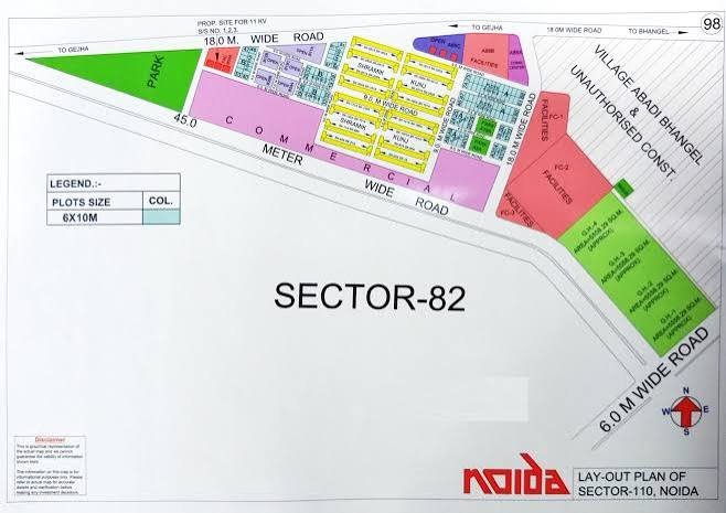
- Drawings and report. We issue the plan, sections and a short report.