Our DGPS Survey Process, Step by Step
- Visit the site to understand terrain, access, vegetation and the areas where levels are most important.
- Establish control and reference points so measured elevations can be related consistently across the site.
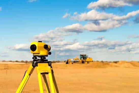
- Collect ground levels on a suitable grid or along required sections using Total Station and DGPS levelling.
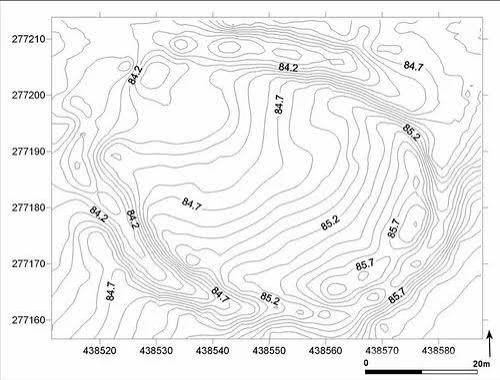
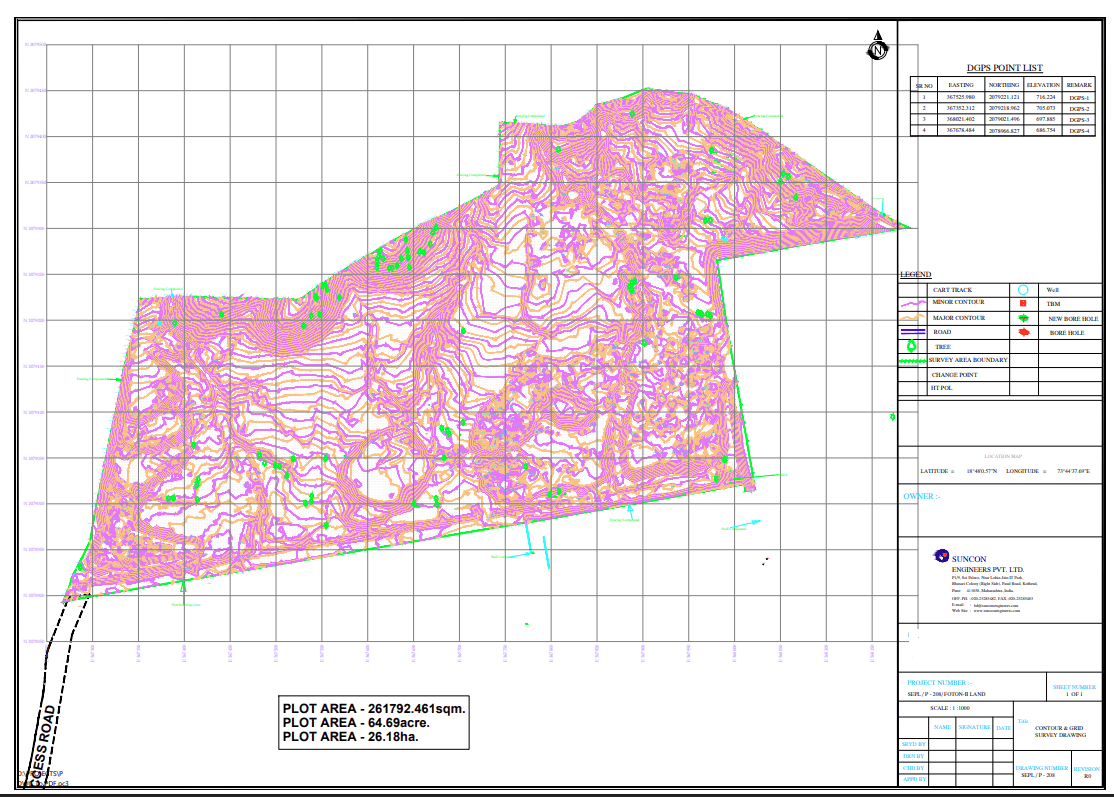
- Process the points into the agreed contour representation and develop additional terrain information such as a DEM where required.
- Issue the contour map, spot levels and requested sections or volume information in the agreed drawing and data formats.