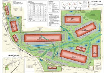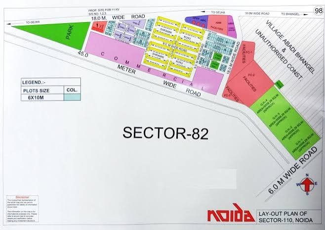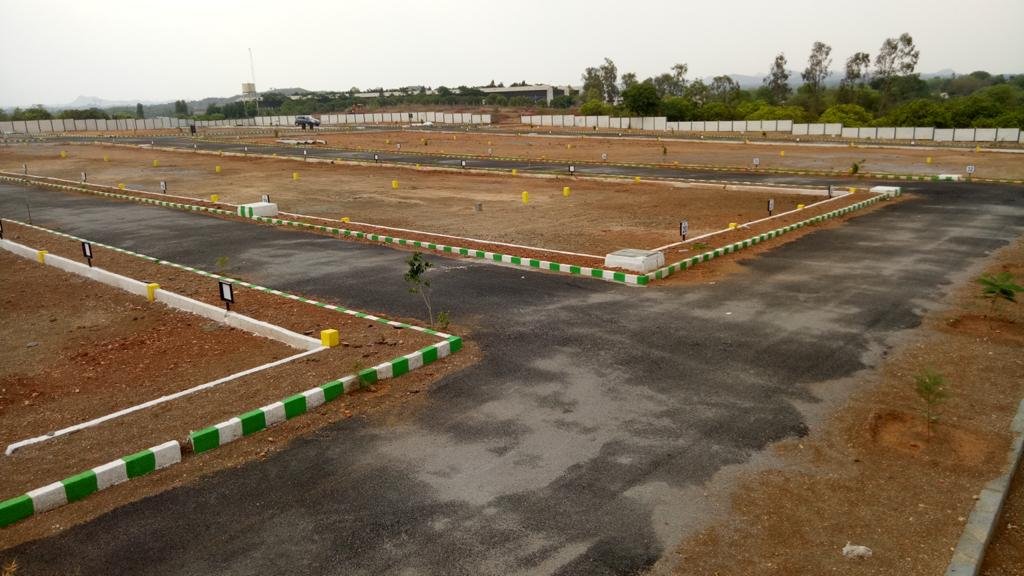
Our Layout Survey Process, Step by Step
- Site visit. We review the drawings, the access and the points to be marked.
- Control points. We fix or verify benchmarks so every mark ties to one reference.
- Field work. We mark centres, centrelines and foundations with Total Station and DGPS.
- Data processing. Setting-out coordinates are computed from your drawings, and each mark is checked against them.
- Drawings and report. We issue coordinate sheets, check records and as-marked drawings.