Our DGPS Survey Process, Step by Step
- Start with a site visit to understand access, existing benchmarks, open sky and the areas that need control.
- Establish or verify control points and benchmarks at positions that can remain useful during the project.
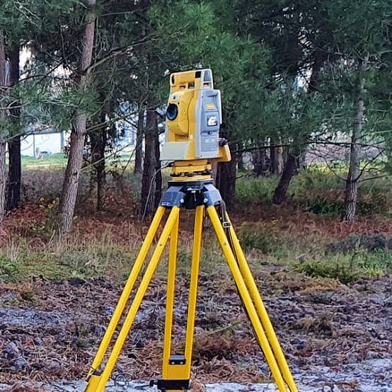
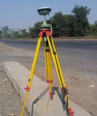
- Carry out base-rover RTK observations or static observations according to the required method, recording the relevant field information.
- Process the observations and check the resulting coordinates against known reference points before issuing them.
- Prepare coordinate lists, control drawings and the short report, with point descriptions and site records where included.