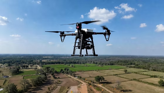
Large sites are hard to map because the work has to cover a lot of ground with consistent accuracy. A drone survey handles this by flying planned grids over industrial parks, corridors, new city sites and other large projects. Zenith Consultancy provides drone survey services India clients use for EPC contractors, consultants, developers and government departments.

Our survey teams travel to site and plan flights around your design needs. This page explains what a drone survey produces, where it works best and what you receive.

What Is a Drone Survey and Why It Matters

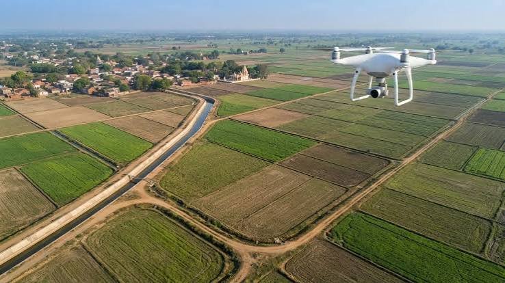
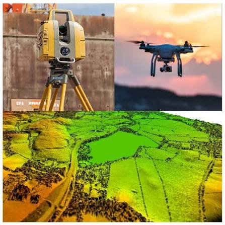
A drone survey captures overlapping aerial images and processes them into an orthomosaic, a digital elevation model (DEM) and contours. The orthomosaic is a stitched, scaled aerial map you can measure from. The DEM shows ground heights.

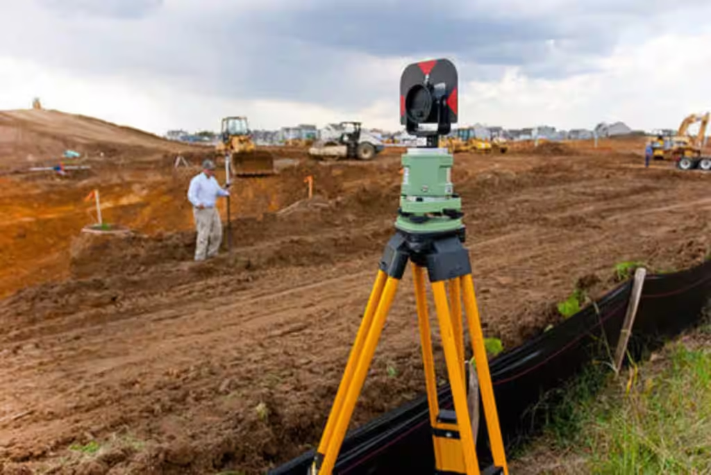
Drones cover large areas faster than ground methods and leave a visual record of the site. They record the visible surface only. Ground survey fills the gaps under trees, roofs and structures, so we pair drone surveys with Total Station or DGPS work where the site needs it.

Where Drone Surveys Work Best

Large open sites

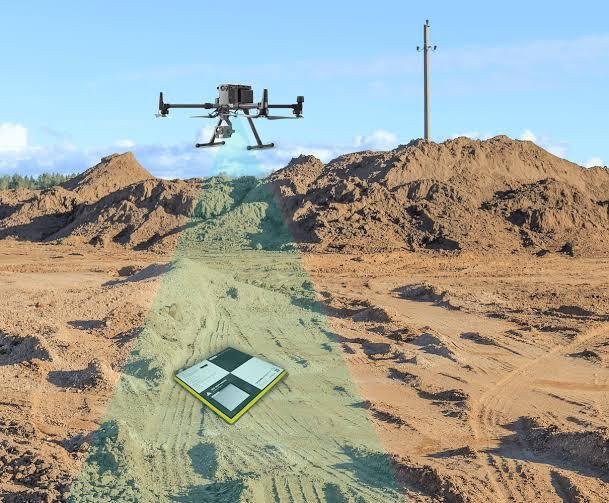
Open land can be flown on long, regular grids, so industrial parks, rail corridors and road stretches take far less field time than on foot. On flat ground, small height differences matter, so ground control points fixed by DGPS are placed with care.

Corridor projects

Drone survey for infrastructure projects India developers plan, such as railways, highways, canals and transmission routes, gives a continuous picture along the alignment.

Progress monitoring

Repeat flights record how a site changes over time, and earthwork volumes can be worked out from the processed data.

Early planning and DPR

Consultants use drone maps for early planning, route options and DPR work before detailed ground survey begins.

Weather and permissions

Wind and weather can delay flights, so schedules stay flexible. Flights follow DGCA rules, and we check airspace first. Some areas may need extra permissions, and we plan for that early.

Our Drone Survey Process, Step by Step

Equipment and Technology

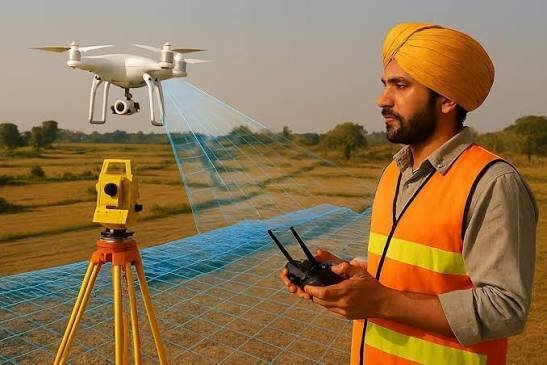
We fly survey drones on planned grids and use ground control points fixed by DGPS to keep the map accurate. Processing software builds the orthomosaic, the DEM or DTM and the contours. Flights depend on weather and airspace permissions. A Total Station can cover areas the drone cannot see.

Deliverables You Receive

Industries and Projects We Serve

We work with EPC contractors, consultants, developers and government departments. Drone surveys support rail and road corridors, industrial parks, dam and canal sites, transmission routes and new city projects. As an infrastructure survey consultancy, we use drone data alongside ground survey so that early maps, progress maps and earthwork volumes stay consistent through the project.

Cost Factors

When you compare drone survey quotes, check the area, the resolution required, the number of ground control points and the permissions. We do not use a flat rate for every site. Repeat flights add to the scope. Send us the location, area and scope, and we will share a quotation.

Why Choose Zenith Consultancy

A good drone survey company should explain its flight plan, its ground control and its permissions. Zenith Consultancy works this way.

Frequently Asked Questions

Do drone flights need permission?

Flights follow DGCA rules. We check airspace first and arrange the permissions needed before flying.

Not fully. Drones record the visible surface only. We use Total Station to cover areas under trees, roofs and structures.

Yes. Volumes can be worked out from the processed data, and repeat flights show progress over time.

The area, the resolution required, the number of ground control points, the permissions and the number of repeat flights.

Our Locations

Get a Drone Survey Quotation

Send us the project location, area and scope, and we will share a quotation.

    Sign up to Privitar’s weekly newsletter to get the latest updates.

    [mc4wp_form id=310]

    We don’t send you any spam

    Copyright © Gerow| All Right Reserved

    Zenith Consultancy provides survey and site investigation services for buildings, railway, highway, dam, transmission line and all types of Infrastructural projects.

    Copyright © 2026 Zenith Consultancy