Our Layout Survey Process, Step by Step
- Site visit. We review the site, the access and the airspace and permissions needed.
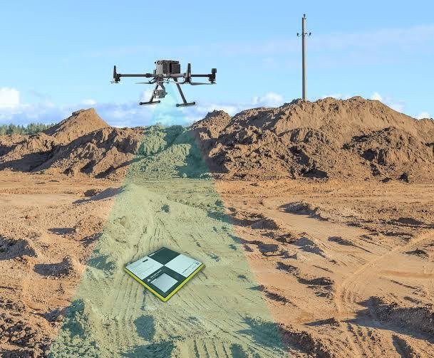
- Control points. We fix ground control points with DGPS to keep the map accurate.
- Field work. A survey drone flies a planned grid and captures overlapping images, weather permitting.
- Data processing. Images are processed into an orthomosaic, a DEM or DTM and contours.
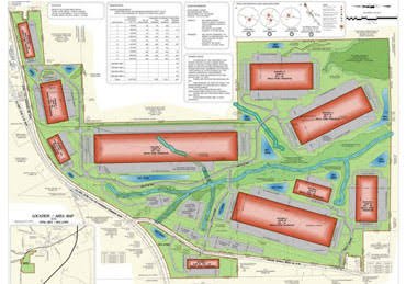
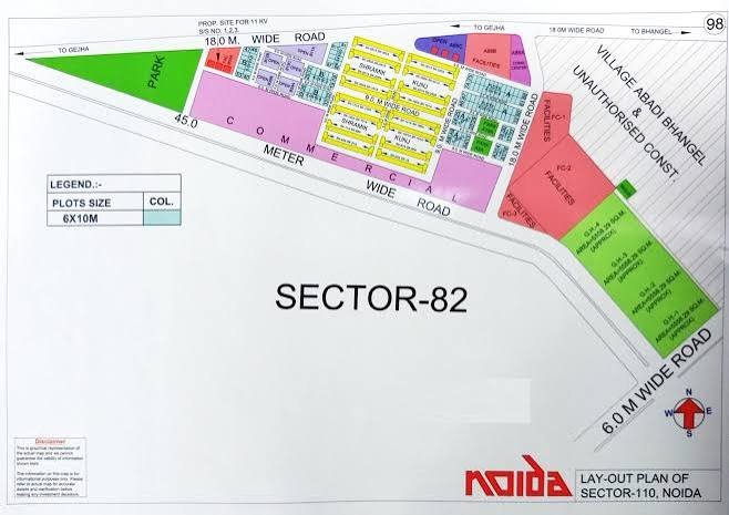
- Drawings and report. We issue the CAD base plan, with volume calculations if you ask for them.