Our Land Survey Process, Step by Step
- Document and scope review. We review the records, drawings and boundaries you provide, and confirm what is to be surveyed.
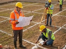
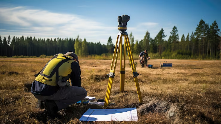
- Site visit. We check access, visible boundary marks and any points that need agreement on site.
- Control points. We fix control with DGPS so the survey ties to a known coordinate system.
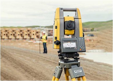
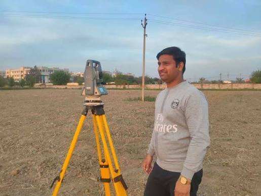
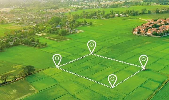
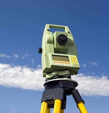
- Field survey. Total Station and DGPS measure boundary points and features.
- Drawing and checks. Data is plotted, areas are calculated and the drawing is checked against field notes.
- Delivery. We issue the survey plan in CAD and PDF, with coordinates and area statement.