Our Contour Survey Process, Step by Step
- Scope. We confirm the area, contour interval and drawing format.
- Control points. We fix control points and benchmarks with DGPS.
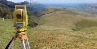
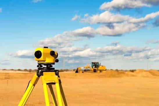
- Field survey.Levels are captured by Total Station, DGPS or drone, based on terrain and area.
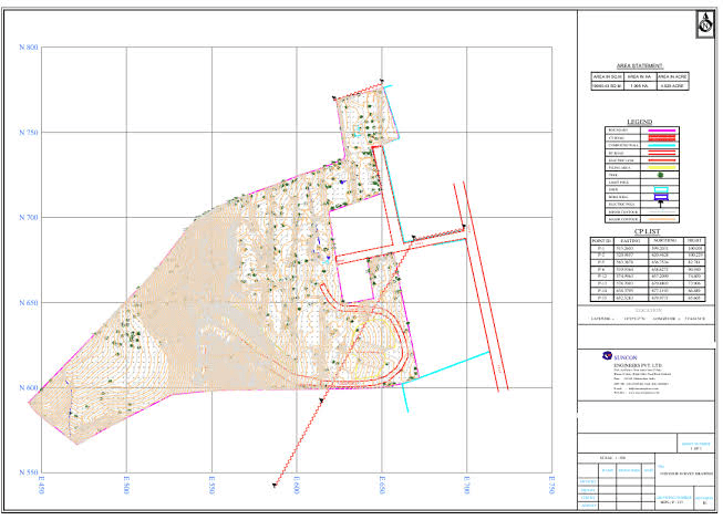
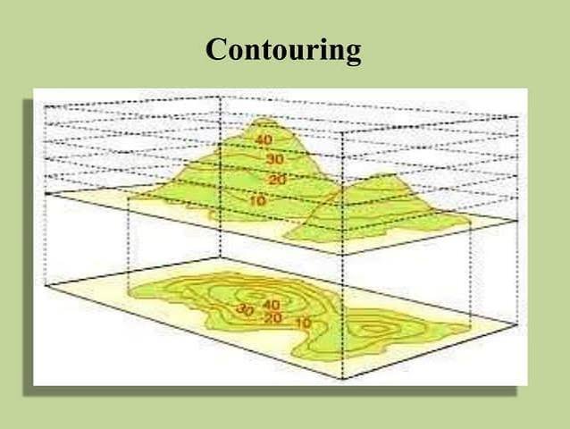
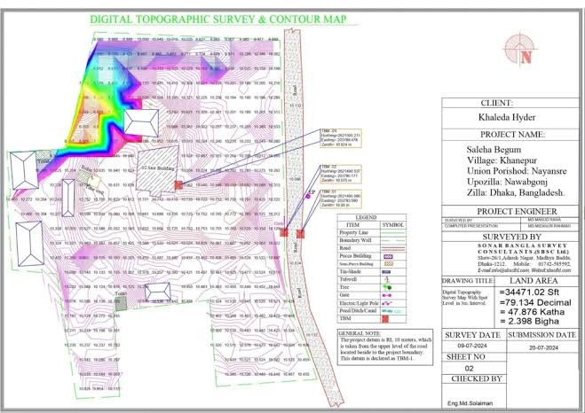
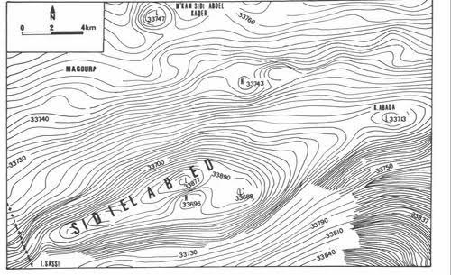
- Processing. Points are processed into a terrain model and contours are generated.
- Checks Contours are checked against field levels and drawings are reviewed.
- Delivery We issue the contour map in CAD, with spot levels and a report.