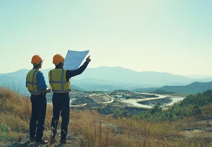
Every design starts with an accurate picture of the ground. A topographical survey records what is on site and at what level, so designers, estimators and contractors work from the same facts. Zenith Consultancy is a topographic survey company India projects can use from early planning to construction, serving EPC contractors, consultants, developers and government departments.

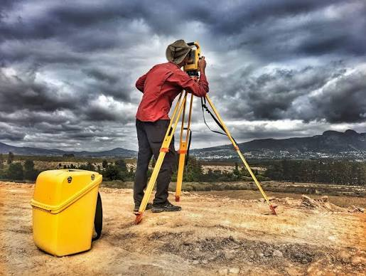
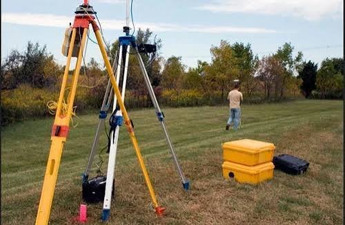
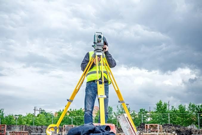
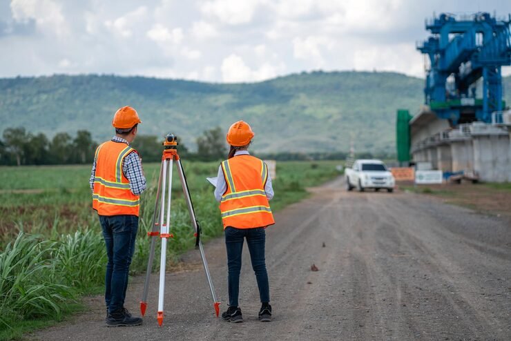
Our survey teams travel to site, survey with Total Station and DGPS, and deliver clean CAD drawings. This page explains what a topographical survey covers, how we carry it out and what you receive.

What Is a Topographical Survey and Why It Matters

A topographical survey records the natural and man-made features of a site together with their levels. It shows ground heights, slopes, boundaries, roads, buildings, drains, trees, poles and underground utility markers where visible. The result is a scaled plan with contours and spot levels.

Design teams use it to plan alignments, grading, drainage and structures. Estimators use it to work out quantities. Getting it right early avoids redesign and disputes later.

Where Topographic Surveys Are Used

Railways

Topographic survey for railway projects covers alignment options, station yards, bridges and level crossings. We act as a railway survey consultancy for both new lines and upgrades.

Highways and roads

Corridor topography, cross-sections and longitudinal sections support geometric design, drainage and earthwork estimates. We work as a highway survey company India consultants can rely on for DPR and design stages.

Dams, canals and reservoirs

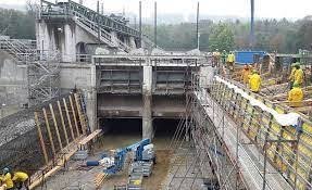
Site topography, axis areas and reservoir contours support our dam survey services, along with hydrological inputs as a hydrological survey company.

Power and transmission

Route and profile data feeds tower spotting. We also provide transmission line survey services as a separate scope.

Industrial parks, buildings and new city sites

Large-area topography supports master planning, grading and utility design.

Where Topographic Surveys Are Used

Consultants preparing a Detailed Project Report need reliable base data. As a DPR survey company, we deliver topography, alignments, levels and sections in formats that design teams can use directly. Where the project needs it, we add soil investigation and hydrological inputs so that survey, soil and drainage data share one set of control points. As a soil investigation company, we can tie borehole locations and levels to the same survey control.

Our Topographical Survey Process, Step by Step

Equipment and Technology

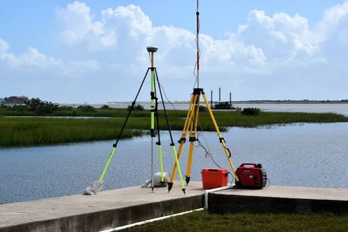
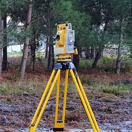
We use Total Station instruments for detailed feature and level work, and DGPS for control across large sites. For wide open areas, drone data can speed up coverage, with ground points confirming accuracy. Processing software builds contours, sections and the terrain model, and CAD drawings are prepared to your layer and format requirements.

Deliverables You Receive

Cost Factors

When you compare topographical survey quotes, check the area or corridor length, the terrain and vegetation, the contour interval, the detail required and the drawing deliverables. We do not use a flat rate for every site. Send us the location, area and scope, and we will share a quotation.

Why Choose Zenith Consultancy

A good topographical survey company should explain its control, its checks and its drawing standards. Zenith Consultancy works this way.

As a survey consultancy Delhi NCR clients and outstation project teams both work with, we plan topographic surveys around your design needs and your schedule.

Frequently Asked Questions

What is the difference between a topographical survey and a contour survey?

A topographical survey records all features and levels. A contour survey focuses on the shape of the land through elevation lines. Most topographical surveys include contours.

Yes. We provide topography, alignments, levels and sections for DPR work.

On large open sites, yes, supported by DGPS ground control. Total Station covers areas under cover.

The project location, area or corridor length, required contour interval and any existing drawings.

Our Locations

Get a Topographical Survey Quotation

Share your project location, area and scope. We will review it and send you a quotation.

    Sign up to Privitar’s weekly newsletter to get the latest updates.

    [mc4wp_form id=310]

    We don’t send you any spam

    Copyright © Gerow| All Right Reserved

    Zenith Consultancy provides survey and site investigation services for buildings, railway, highway, dam, transmission line and all types of Infrastructural projects.

    Copyright © 2026 Zenith Consultancy