Brochure

when an unknown printer took ga lley offer typey anddey.

PDF. Download DOC. Download

If You Need Any Help Contact With Us

+91 9717087858

Get A Free Quote

    Topographical Survey in Jammu & Kashmir

    Every project manager must decide how much ground to map before design starts. A topographical survey in Jammu or Srinagar answers that early, by putting levels, rivers, roads, buildings and boundaries on one plan. Zenith Consultancy serves EPC contractors, consultants, developers and government departments across Jammu & Kashmir.

    Our survey teams travel to site and work to the accuracy your design needs. This page explains what the survey maps, how mountain and river terrain shapes the work and what you receive.

    What Is a Layout Survey and Why It Matters

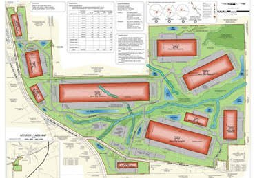
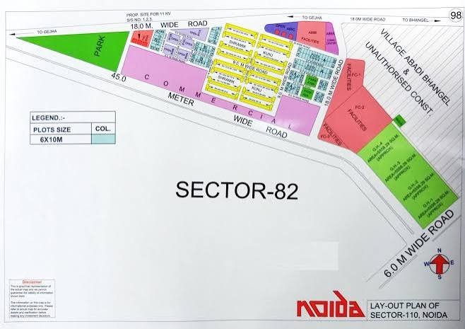
    A topographical survey maps natural and man-made features on one plan. These include ground levels, roads, buildings, trees, water bodies, utilities and boundaries. Designers use the plan as the base for alignment, drainage and quantities.

    On most infrastructure projects it is the base for the DPR, the design and the approvals. Without it, designers work from assumptions, and assumptions turn into variations during construction. The plan also gives every consultant one shared picture of the existing ground.

    Topographical Survey in Jammu & Kashmir: Terrain, Projects and Challenges

    Jammu

    Jammu projects often involve highway widening, railway-linked corridors and building sites where existing roads, structures and drains must be mapped precisely. Corridor surveys run over long distances, so we map a defined width along the alignment and tie it to fixed control. Rivers and streams add water edges and bank lines to the plan.

    Srinagar

    A topographical survey in Srinagar usually deals with built-up areas, river banks and roads that carry traffic during the work. Existing buildings, utilities and boundaries are plotted so designers can avoid clashes. Across the wider region, hydro, tunnel and transmission line projects need mapping over steep and uneven ground, and the survey records that ground as it is. Some areas may need extra permissions, which we check when preparing the quotation.

    Our Layout Survey Process, Step by Step

    Equipment and Technology

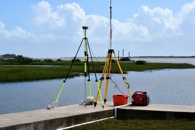
    We use Total Station and DGPS for ground survey and, for large areas, drone mapping. The Total Station records detail where the satellite view is limited, such as near walls or in cuttings. DGPS gives control across open ground and long corridors. Data is processed in CAD to produce a plan with contours, plus digital terrain model (DTM) data.

    Deliverables You Receive

    Industries and Projects We Serve

    We work with EPC contractors, consultants, developers and government departments. In Jammu & Kashmir, topographical mapping supports DPRs and highway, rail and dam projects, along with hydro, tunnel and transmission line work. Highway packages and right of way (ROW) planning also start from a reliable base map. Consultants use the same plan to share one picture of the ground with every design team.

    Cost Factors

    When you compare quotes for topographical survey cost Jammu projects, check the area or length, the terrain, the density of features and the vegetation. We do not use a flat rate for every site.

    The survey method also changes the effort, because ground methods and drone mapping suit different sites. Send us the location, area or length and scope, and we will share a quotation.

    Why Choose Zenith Consultancy

    A topographical survey company Jammu teams hire should state the scale and detail it will map and show how it checks its data. Zenith Consultancy works this way.

    We offer topographical survey services Jammu and Srinagar clients can use in CAD and PDF, with plain-language notes.

    Frequently Asked Questions

    What decides the cost of a topographical survey in this region?

    Cost depends on the area or length, terrain, density of features, vegetation and survey method. We do not use a flat rate for every site. Send the location, area or length and scope, and Zenith Consultancy will share a written quotation.

    Time depends on the size of the site, the detail required, access and weather. We confirm a schedule in the quotation. On larger projects we can share plans in stages, so designers can start on completed sections. Tell us the corridor length early, so we can plan field teams.

    Yes, we agree the corridor width with your consultant, then map levels, roads, structures and water along the alignment. Control points repeat along the line, so the plan stays consistent. Sections are cut along the alignment for design. Share the alignment drawing, and we will plan them.

    Yes. Zenith works as a topographical survey company Srinagar clients can brief directly. We plot buildings, utilities, boundaries and bank lines on one plan. Share the site location and the scale your consultant needs, and we will plan the survey in CAD and PDF.

    For most infrastructure DPRs, yes. The designer needs ground levels and features to prepare the alignment, drainage and quantities. Your tender documents or consultant will state the scope, scale and accuracy required. Share them with us, and we will plan the survey to match.

    Request a Quote

    Planning a topographical survey in Jammu or Srinagar? Share your site location, area or length and the deliverables you need. Call or message Zenith Consultancy, and we will respond with a quotation.

    Sign up to Privitar’s weekly newsletter to get the latest updates.

    [mc4wp_form id=310]

    We don’t send you any spam

    Copyright © Gerow| All Right Reserved

    Zenith Consultancy provides survey and site investigation services for buildings, railway, highway, dam, transmission line and all types of Infrastructural projects.

    Copyright © 2026 Zenith Consultancy