Our Topographical Survey Process, Step by Step
- Site visit: We inspect the corridor or site and identify the natural and built features that need to appear on the base map.
- Control points: Survey control is established so levels and feature positions can be tied into one working reference.
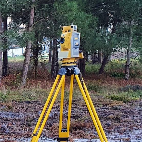
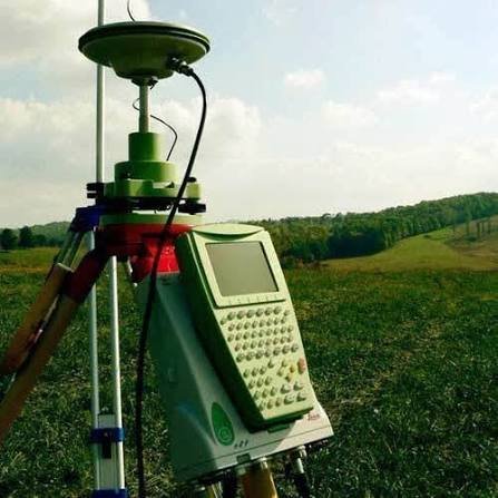
- Field work: Total Station, DGPS and, where suitable for large areas, drone mapping collect levels and visible site features.
- Data processing: Observations and mapped features are processed in CAD to form the plan and contour information.
- Drawings and report: The topographical plan, contour map, DTM data and requested sections are prepared for design and DPR work.