Contour Survey Services in Ghaziabad & Dehradun

A site can look reasonably level while still having changes that affect drainage, grading and earthwork. contour survey in Ghaziabad records ground elevations and turns them into a map of equal-height lines that designers can use.

Ghaziabad’s plains and Dehradun’s Himalayan foothill setting create different elevation patterns. For a project team, the useful question is not simply where the site is high or low, but how those levels relate to the proposed development and required drainage or grading work.

What Is a Contour Survey and Why It Matters

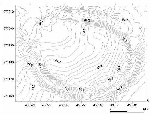
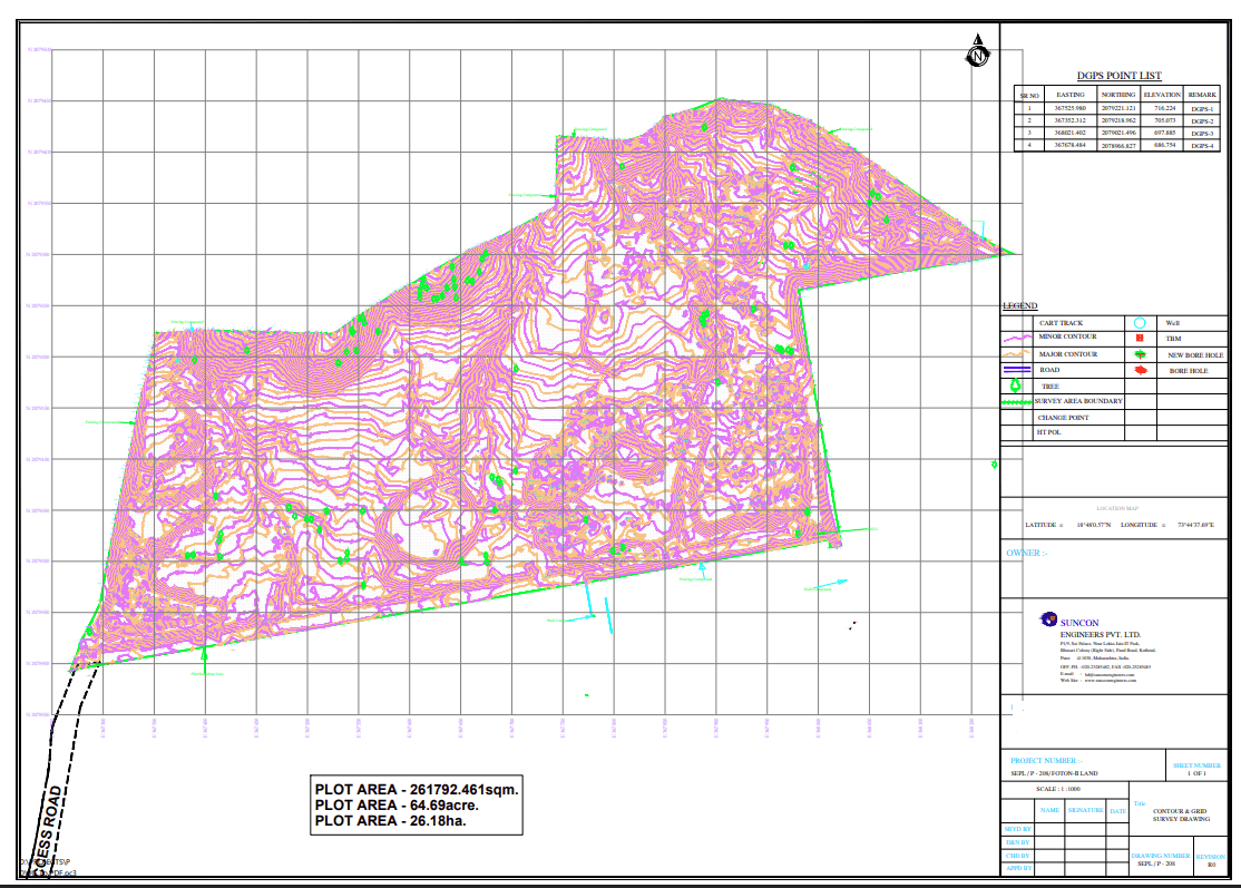
A contour survey measures ground elevations and represents points of equal height as contour lines. The resulting information shows slope and relative level changes across a site, helping designers plan grading, drainage, foundations, roads and earthwork.

For a project manager, this gives the design team a terrain-based reference before decisions about cut-and-fill or drainage are developed. The survey supplies levels; the engineering team remains responsible for the actual drainage and grading design.

contour survey in Ghaziabad & Dehradun: Terrain, Projects and Challenges

Contour survey company Ghaziabad

Ghaziabad’s predominantly plain terrain can still contain local level changes that matter on developed plots and infrastructure sites. Waterlogging and drainage planning make reliable levels useful for site design. Measured contour information in Ghaziabad can support grading and cut-and-fill planning where project teams need a structured view of the existing ground.

Contour survey in Dehradun

Dehradun’s foothill setting can introduce more noticeable changes in ground level across a site. For roads, hydro-related work or development parcels, the relationship between slope and proposed construction needs to be understood from measured levels. In Dehradun, contour mapping can therefore help designers assess terrain while leaving slope stability judgement to qualified engineers.

Our DGPS Survey Process, Step by Step

Equipment and Technology

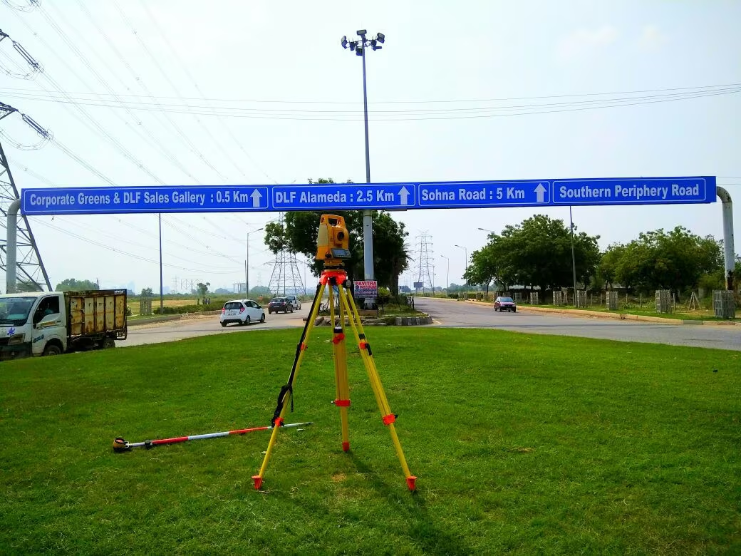
Total Station and DGPS support elevation measurement. CAD is used to develop contour maps and drawings, while a DEM represents the terrain digitally. Where a drone survey is separately included in scope, an orthomosaic can add aerial context. The contour interval is selected around project requirements and design needs.

Deliverables You Receive

Industries and Projects We Serve

Zenith supports EPC contractors, consultants, developers, landowners and government departments working on buildings, roads, plants, infrastructure sites and development projects. Contour information can support grading, drainage, foundation and earthwork planning where existing levels are needed as a design input.

Cost Factors

The contour survey cost Ghaziabad projects involve depends on area, required contour interval, point density, vegetation and terrain. Access can also affect the field plan, particularly where parts of a site are difficult to reach.

Additional outputs can change the scope. Cross sections or earthwork volume estimates require specific field and processing requirements, so they should be identified when the survey is requested.

Why Choose Zenith Consultancy

Zenith Consultancy is a contour survey company Ghaziabad project teams can engage for measured ground levels. Our contour survey services Ghaziabad include teams travelling to site, a method set to the accuracy the design needs and data checked against reference points where relevant.

For larger sites, data can be handled in stages. We provide plain-language reporting and files ready to use. The survey supplies terrain levels; drainage and grading design remain with the qualified design engineer.

Frequently Asked Questions

What affects the cost of a contour survey?

Area, contour interval, point density, vegetation, terrain and access all influence the scope. Extra outputs such as cross sections or earthwork volume estimates can also require additional field and processing work. The designer’s required contour information should be clear before the survey method and field density are finalised.

The field requirement depends on area, terrain, vegetation, access, point density and the outputs requested. A relatively open site and a more varied or difficult site will not have identical field needs. Zenith can define the scope after reviewing the site location and the contour information required by the design team.

Measured ground levels are useful on Ghaziabad sites when a project needs information for grading, drainage, foundations, roads or earthwork planning. Even generally level areas can have local variations. A contour survey company Ghaziabad can collect the required levels and present them as contour information for the design team.

For contour survey in Dehradun, the foothill setting can create more varied ground levels across a site. A contour survey company Dehradun can plan point density and access around the terrain. Field planning considers terrain and access carefully. The resulting contour information can support design, while slope stability questions belong to qualified engineers or geologists.

A contour survey focuses on ground elevations and lines of equal height. A topographical survey covers a broader set of existing natural and man-made features, such as roads, buildings, trees, water bodies and boundaries, along with levels. The two can overlap, but their primary information focus is different.

Request a Quote

For contour survey in Ghaziabad, share the site location, area or corridor length and required deliverables. Call or message Zenith Consultancy so the contour interval and field scope can be discussed.

Sign up to Privitar’s weekly newsletter to get the latest updates.

We don’t send you any spam

Copyright © Gerow| All Right Reserved