Our Land Survey Process, Step by Step
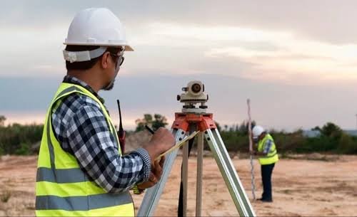
- Site visit: We inspect access, visible boundaries, corner markers and existing features relevant to the agreed scope.
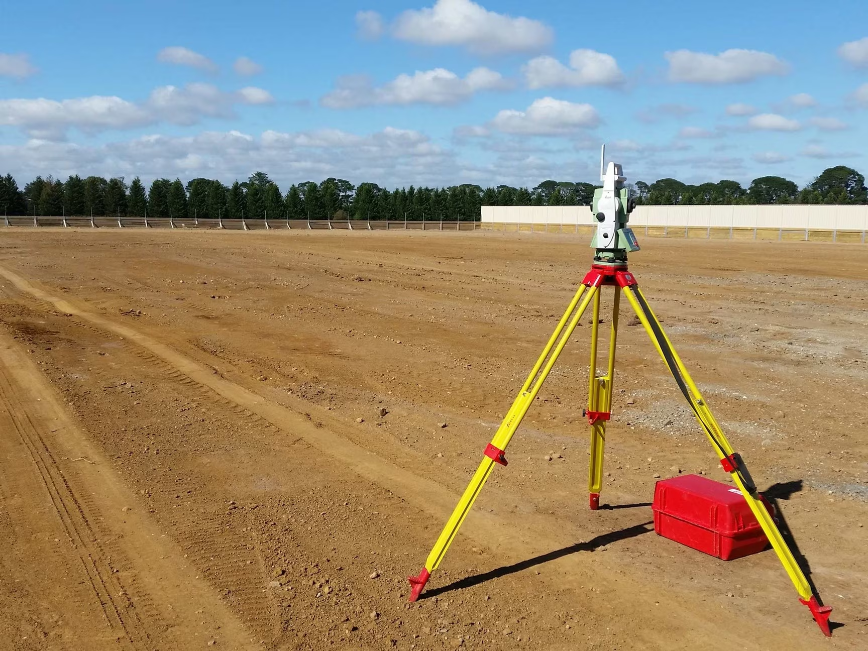
- Control points: Total Station and DGPS control are established as required for the measurements.
- Field work: Boundaries, corner points, area and other specified features are measured on the ground.
- Data processing: Measurements are compared with the client-supplied documents, and relevant differences in position or area are recorded.
- Drawings and report: The boundary plan, area statement, coordinates, observations and survey report are prepared.