Our DGPS Survey Process, Step by Step
- Site visit: We inspect access, existing references and the conditions that may affect satellite observations.
- Control points: Control positions are selected and established using a base-rover or static approach suited to the project requirement.
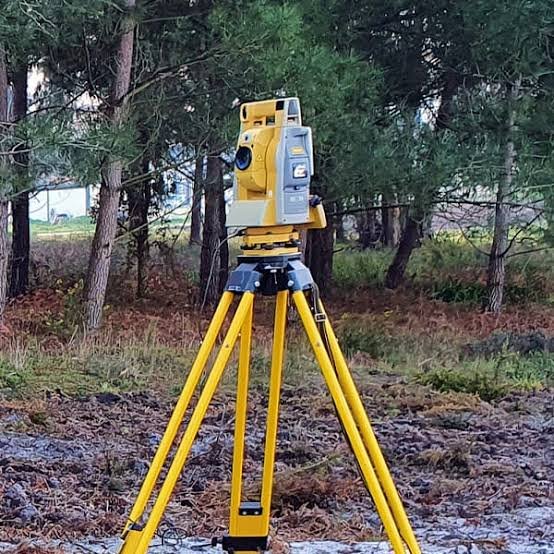
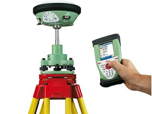
- Field work: Dual-frequency DGPS/GNSS receivers collect the required observations, with Total Station used where additional detail is needed.
- Data processing: Raw observations are processed and checked against known reference points before coordinates are issued.
- Drawings and report: Coordinate lists, control descriptions, CAD information and the short survey report are prepared.