Our DGPS Survey Process, Step by Step
- We check access, vegetation, existing structures and the contour interval your designer needs.
- Control points. We fix control and benchmark points so levels tie to a reliable reference.
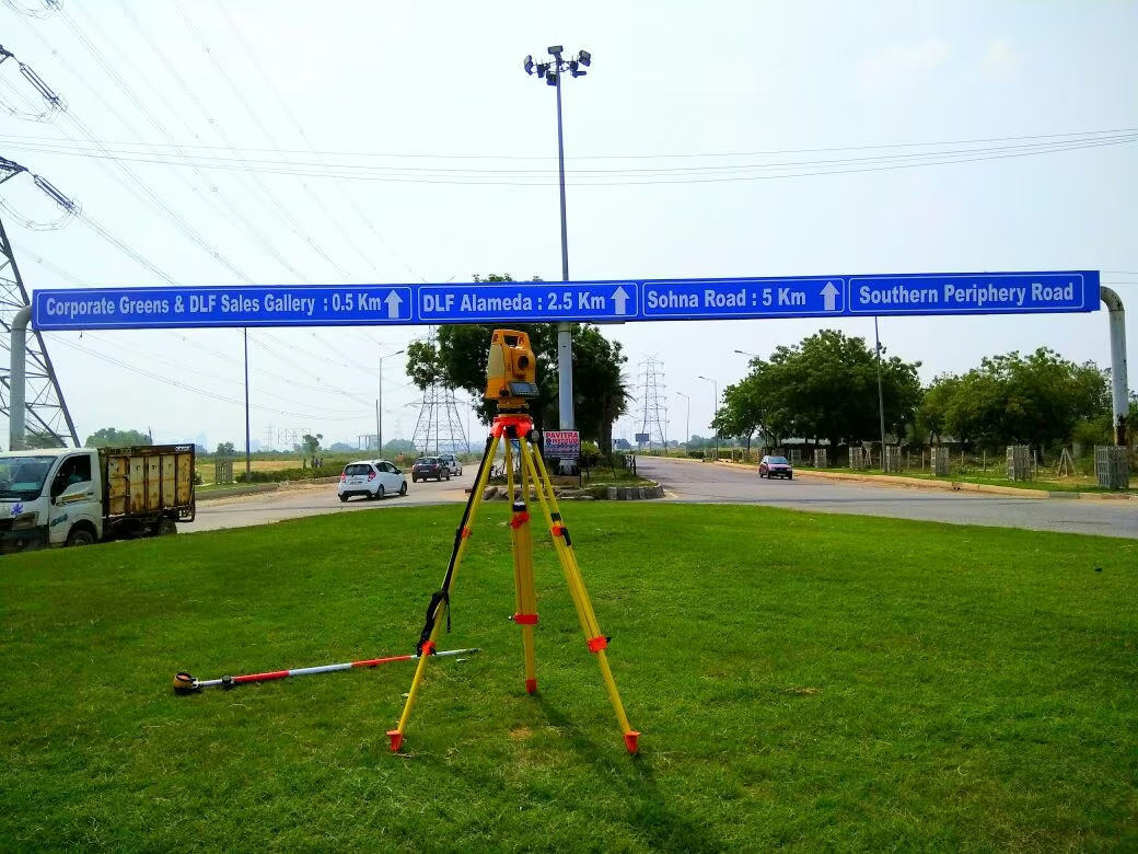
- Field work. We take spot levels on a grid or along sections, adding points where the ground changes.
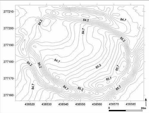
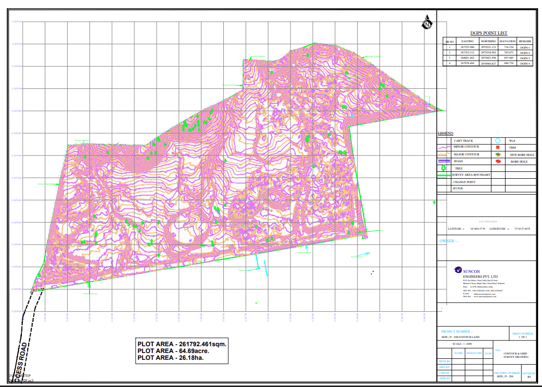
- Data processing. Points are processed into contour lines at the agreed interval.
- Drawings and report. We issue the contour map in CAD with supporting data.