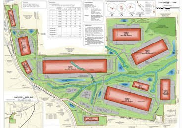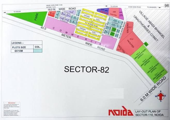
Our Layout Survey Process, Step by Step
- Begin with a site visit to understand access, boundary visibility, terrain and the records or maps supplied by the client.
- Identify usable control or reference points and confirm the corners and features that need to be measured.
- Measure boundaries, corner points and relevant existing features using Total Station and DGPS as appropriate.
- Process the observations and compare measured positions with the documents supplied, clearly noting material differences in position or area.
- Prepare the boundary plan, area statement, coordinates and survey report in the agreed formats.