Land Survey Services in Ghaziabad & Dehradun

Before buying a plot or starting construction, a project team needs to know what is physically present on the ground. land survey in Ghaziabad can measure boundaries, corner points, area and relevant existing features so the site can be compared with the documents supplied by the client.

Ghaziabad’s plains and Dehradun’s foothill setting can create different access, vegetation and boundary conditions. For developers and landowners, a measured plan provides a clearer basis for planning and for identifying differences between ground observations and supplied records.

What Is a Land Survey and Why It Matters

A land survey measures plot boundaries, areas and existing features and represents them on a plan. Depending on scope, it can include corner points, access roads, levels and visible boundary conditions, with measured information compared against records, maps and sale documents provided by the client.

For a project manager, this creates a practical site record before purchase, construction or planning decisions. It is important to separate measurement from legal ownership: survey findings do not decide title, partition or disputes.

land survey in Ghaziabad & Dehradun: Terrain, Projects and Challenges

Land survey company Ghaziabad

Ghaziabad’s largely plain setting includes dense development as well as real-estate and infrastructure activity. A measured land survey may need to distinguish physical boundary conditions from the dimensions shown in supplied documents. Access and the visibility of boundary markers can affect field work, particularly where adjoining development has changed the site context.

Land survey in Dehradun

Dehradun’s Himalayan foothill setting means terrain, vegetation and access can vary across plots. A land survey in Dehradun can document measured boundaries and existing features while keeping the field observations separate from legal conclusions. For land associated with roads, hydro or other development, the survey can provide a usable plan for the project team.

Our Land Survey Process, Step by Step

Equipment and Technology

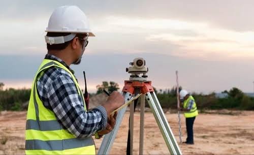
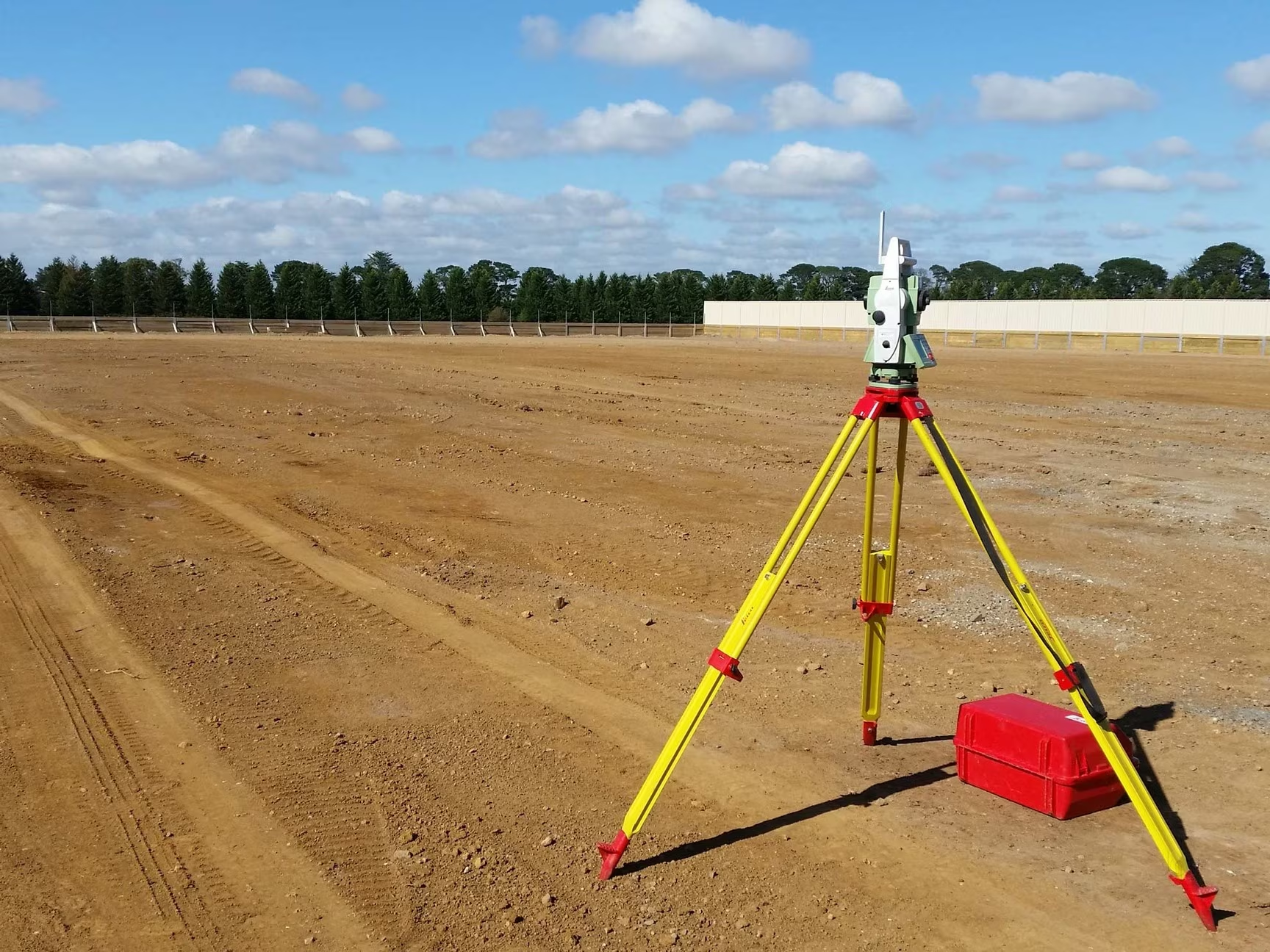
Total Station and DGPS support boundary and feature measurement. Where included in the agreed scope, a drone orthomosaic can provide additional aerial context. CAD is used to prepare the measured plan. The field data is compared with documents supplied by the client rather than treating the survey as a legal title determination.

Deliverables You Receive

Industries and Projects We Serve

Zenith supports EPC contractors, consultants, developers, landowners and government departments involved in real estate, construction, infrastructure corridors and related land requirements. Surveys can help with plot planning, pre-construction checks, boundary understanding and project preparation where ground conditions need to be documented.

Cost Factors

The land survey cost Ghaziabad projects involve depends on plot size and shape, terrain, vegetation and the number of corner points. The visibility of boundary markers and site access can also change the field requirement.

If records need to be reconciled with ground observations, that adds scope to the survey work. The required deliverables also matter, especially when the client needs plans, coordinates, area statements and documented differences.

Why Choose Zenith Consultancy

Zenith Consultancy is a land survey company Ghaziabad project teams can engage for measured site information. Our land survey services Ghaziabad include teams travelling to site, a method set to the accuracy the design needs and data checked against reference points where relevant.

For larger work, data can be handled in stages. We provide plain-language reporting and files ready to use. Measurements are kept separate from legal conclusions about ownership, title, partition or disputes.

Frequently Asked Questions

What affects the cost of a land survey?

The scope depends on plot size and shape, terrain, vegetation, corner points, visible boundary markers, access and whether client records need to be reconciled with ground measurements. Required deliverables also affect the work. A clear scope is therefore easier to define when the site location and available documents are known.

The field requirement depends on the plot, number of points, boundary visibility, vegetation, access and the amount of document comparison required. Larger or irregular sites can need more measurement and processing. Zenith can assess the scope after reviewing the location, approximate area and documents the client can provide.

A measured survey can help a prospective buyer understand boundaries, corner positions and area before making a planning or purchase decision. The survey can also record differences between ground conditions and supplied documents. A land survey company Ghaziabad can provide the measurement record, while legal ownership questions require qualified legal advice.

For land survey in Dehradun, the field team considers terrain, vegetation, access and boundary visibility when measuring the plot. A land survey company Dehradun can structure the work around these conditions. The resulting plan can show measured boundaries, area and differences from supplied documents. The survey does not determine ownership or settle title disputes.

A survey can document measured positions, areas and visible boundary conditions and can note differences between ground observations and client-supplied documents. It does not itself decide legal ownership or settle a dispute. Where a disagreement requires a legal determination, the parties should consult a qualified lawyer or the appropriate local revenue authority.

Request a Quote

For land survey in Ghaziabad, share the site location, area or corridor length and required deliverables. Call or message Zenith Consultancy with the available plot documents and survey requirement.

Sign up to Privitar’s weekly newsletter to get the latest updates.

We don’t send you any spam

Copyright © Gerow| All Right Reserved