Our DGPS Survey Process, Step by Step
- Site visit: Review access, terrain, built-up areas, vegetation and the intended survey outputs.
- Control points: Select practical locations for benchmarks, control points or pillars based on the project requirement.
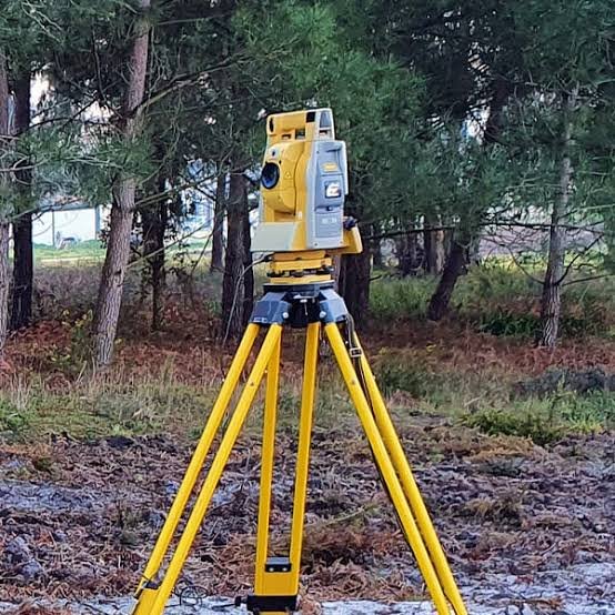
- Field work: Observe points using dual-frequency DGPS/GNSS receivers with RTK or static methods as appropriate.
- Data processing: Process raw observations and check the resulting coordinates against known reference points.
- Drawings and report: Prepare the agreed coordinate lists, control layout drawings, point descriptions and survey report.