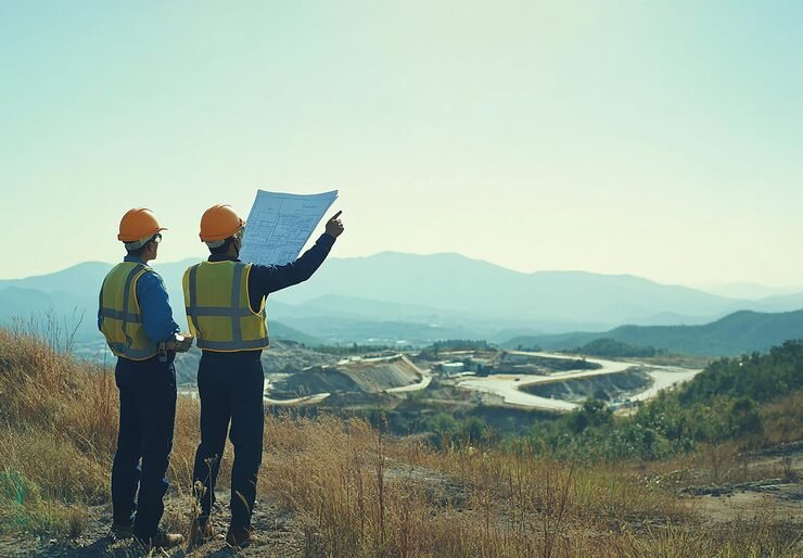
Our Topographical Survey Process, Step by Step
- Scope and drawings We confirm the area, features to be captured, contour interval and drawing format.
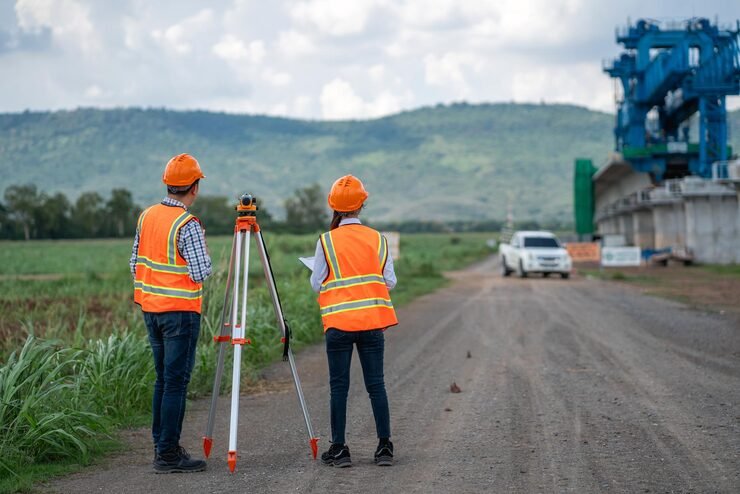
- Reconnaissance. We visit the site, check access and plan the survey.
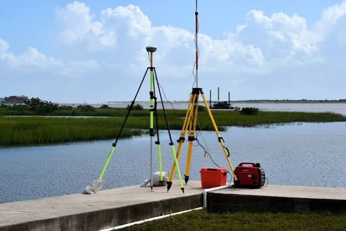
- Control points. We fix control points and benchmarks with DGPS.
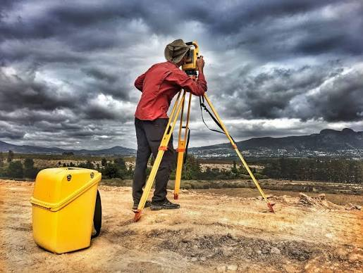
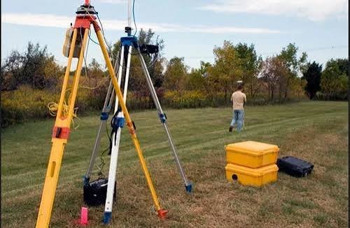
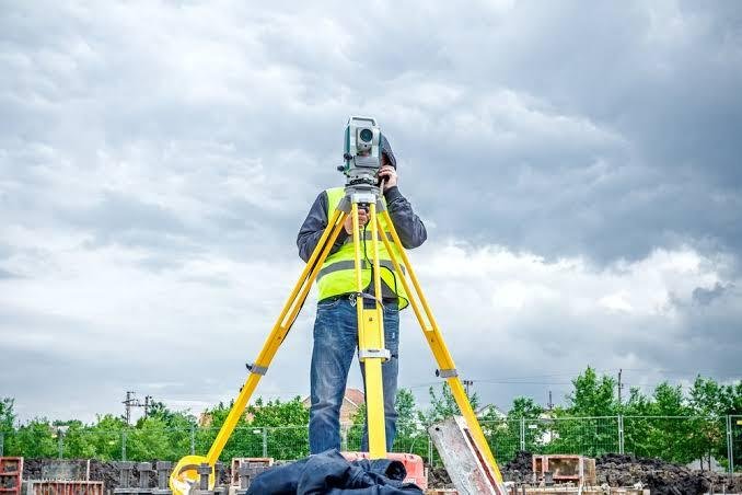
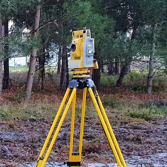
- Field survey. Total Station and DGPS capture spot levels, features and boundaries. Drones can support large open areas.
- Processing and checks. Data is processed, contours are generated and drawings are checked against the field notes.
- Delivery. We issue CAD drawings and a survey report, in stages for larger projects.