Our Drone Survey Process, Step by Step
- Site visit: We review the site, access, surroundings and the intended mapping output before planning the flight.
- Control points: DGPS ground control points are positioned where needed to connect the aerial data to the survey reference.
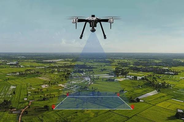
- Field work: The survey drone follows a planned flight grid, subject to weather and applicable airspace permissions.
- Data processing: Overlapping images are processed into aerial mapping products and related terrain information.
- Drawings and report: The agreed orthomosaic, terrain model, contour and CAD outputs are prepared for project use.