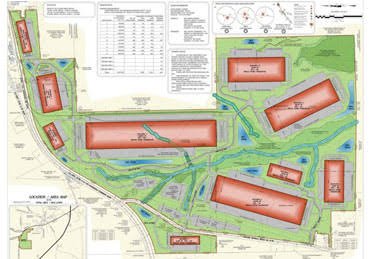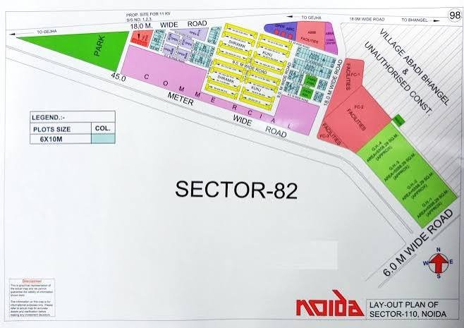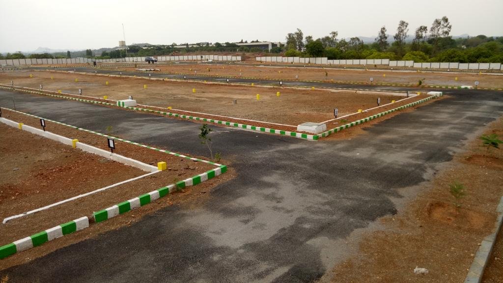
Our Layout Survey Process, Step by Step
- Site visit: We review the work area, access, approved drawings and existing reference points relevant to the setting-out.
- Control points: Control is taken from established benchmarks so marked positions have a defined reference.
- Field work: Using Total Station and DGPS where required, we mark the specified building, road, foundation or alignment points.
- Data processing: Field observations are checked and coordinate information is organised for the project record.
- Drawings and report: Coordinate sheets, check records and as-marked information are prepared for use by the project team.