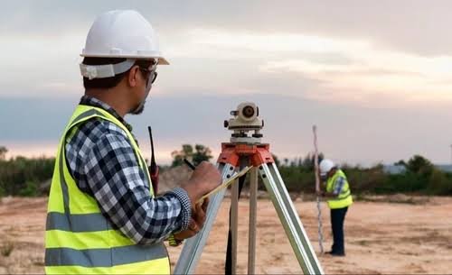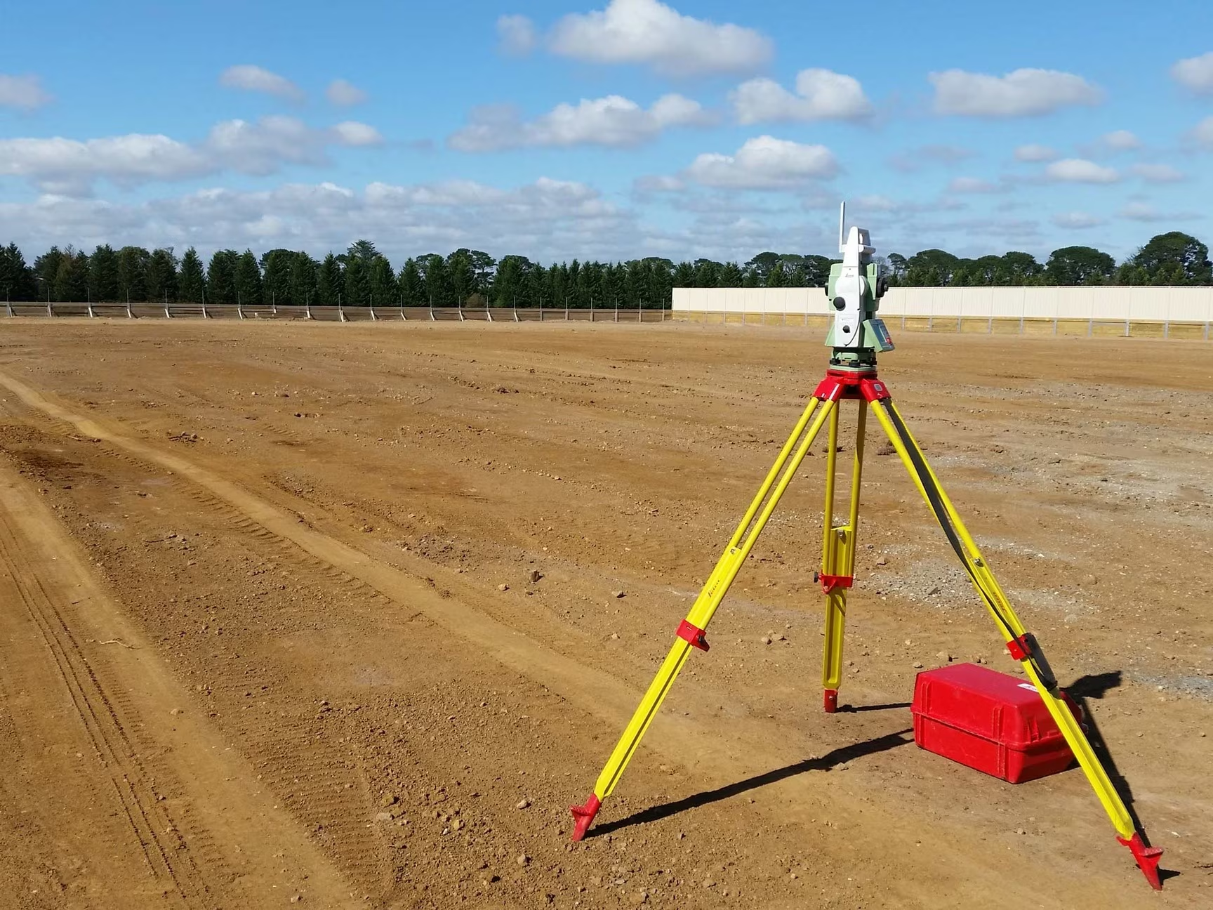
Our Land Survey Process, Step by Step
- Site visit: Review the plot, access, boundary visibility, terrain and the documents supplied by the client.
- Control points: Establish or use suitable reference points so measured corners and features can be positioned consistently.
- Field work: Measure boundaries, corner points, visible features and levels where required by the agreed scope.
- Data processing: Compare measurements with supplied records, maps or sale deeds and identify differences in area or position.
- Drawings and report: Prepare the boundary plan, area statement, coordinates, difference notes and survey report.