Contour Survey Services in Delhi, Noida & Gurgaon

A wrong ground-level assumption can affect grading, drainage, road levels and earthwork decisions long after the survey team has left the site. A contour survey in Delhi, Gurgaon and Noida gives project teams a measured picture of how ground elevations change across the site.

The value becomes clearer when a site appears broadly level but contains local slopes, depressions or drainage paths. For construction and infrastructure planning, elevation information needs to be organised so designers can understand the terrain before deciding how the site should be graded or developed.

What Is a Contour Survey and Why It Matters

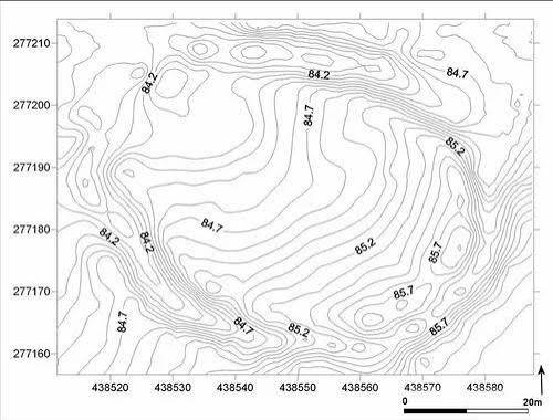
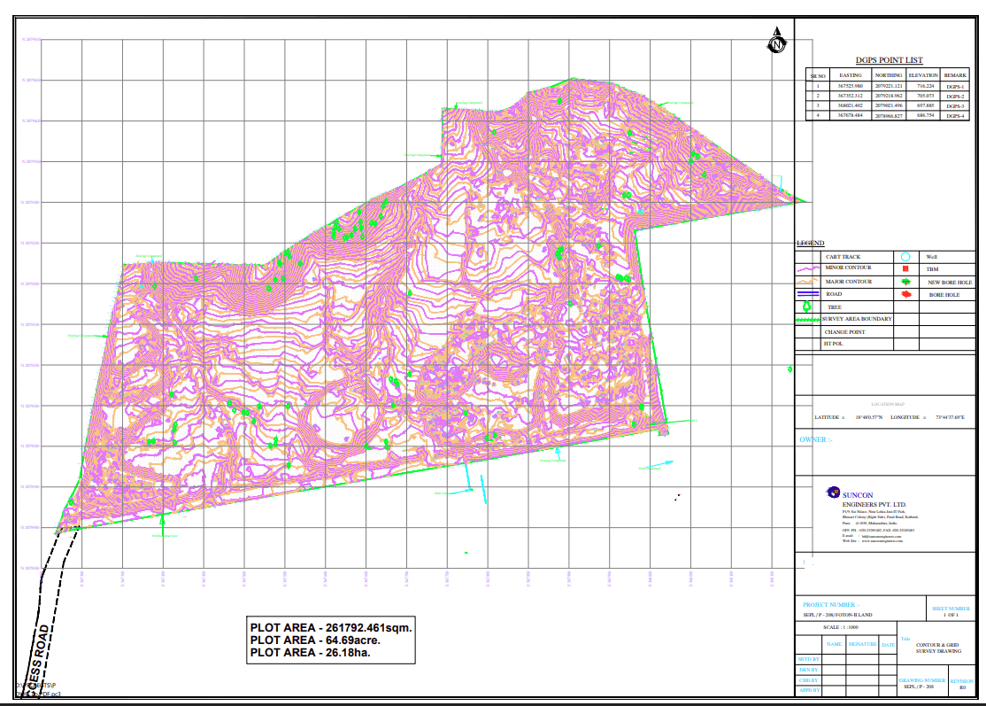
A contour survey records ground elevations and represents points of equal height as contour lines. It shows the shape and slope of the land rather than only its boundary or horizontal position.

For a project manager, this information helps designers assess grading, drainage, road levels, foundations and earthwork. Spot levels and sections can also show local changes that a simple site plan may not communicate. The survey supplies the measured ground information; drainage and grading design remains the responsibility of the design engineer.

contour survey in Delhi, Gurgaon and Noida, Noida & Gurgaon: Terrain, Projects and Challenges

Delhi

Delhi sites can include dense built-up surroundings and areas influenced by the broad Yamuna floodplain. These conditions make local elevation patterns important when planning drainage, grading and access. For metro, RRTS, expressway, real-estate and industrial-plot work, the survey can help project teams understand how existing ground levels relate across the site. In Delhi, vegetation and access can also affect point collection.

Noida

Noida’s planned development pattern includes large sites as well as active construction and industrial areas. Even where a plot looks regular, small changes in elevation can influence drainage and grading decisions. In Noida, contour data can be organised around the areas where roads, foundations, drainage routes or earthwork are expected. This makes the elevation model more useful to the design team than isolated level readings.

Gurgaon

Gurgaon combines developed urban areas with expanding construction zones and varied site conditions. Slopes, local depressions and changing ground levels can matter when a project is being prepared for grading or drainage. For work in Gurgaon, point density and contour interval should reflect the terrain and the intended design use. Gurgaon sites with vegetation or restricted access may need field planning around those constraints.

Our DGPS Survey Process, Step by Step

Equipment and Technology

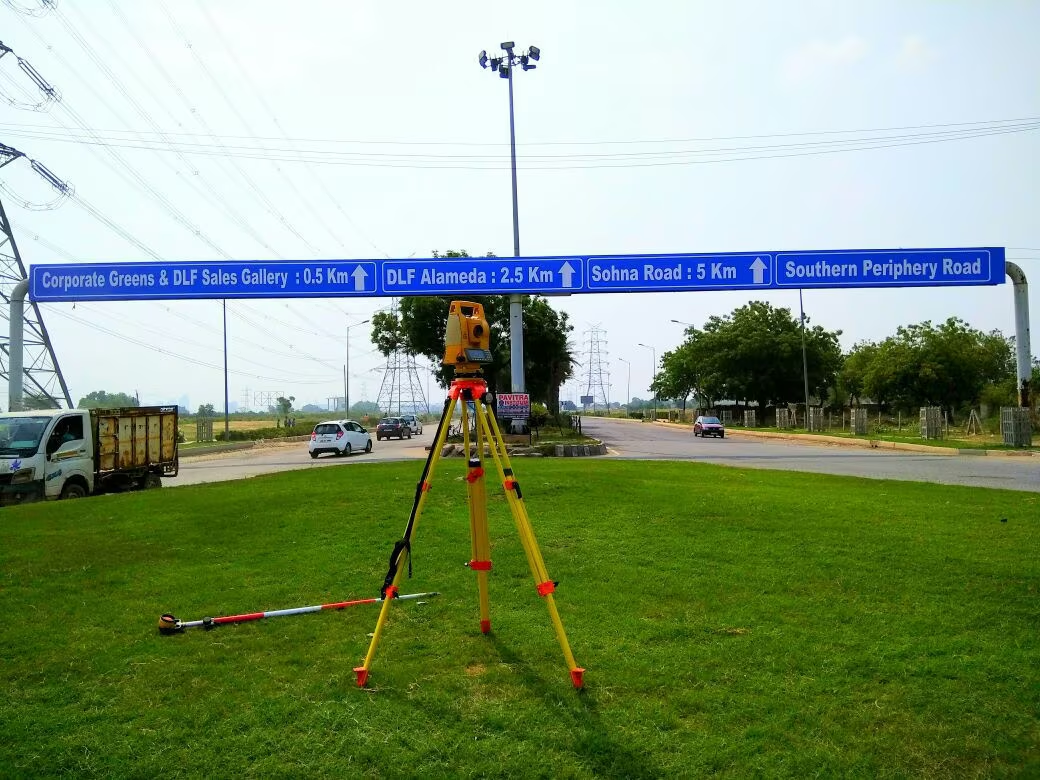
Total Station and DGPS levelling can be used to collect elevation points on a grid or along sections. The measured points can be processed into contour maps and a DEM, which is a digital representation of ground elevation. CAD is used for drawings, while an orthomosaic is relevant only when a drone survey is part of the agreed scope.

Deliverables You Receive

Industries and Projects We Serve

Zenith Consultancy serves EPC contractors, consultants, developers, landowners and government departments working on construction and infrastructure assignments. Typical project applications include metro, RRTS, expressway, highway, railway, real-estate and industrial-plot work. Elevation information can support grading, drainage, foundation and road-level planning where those activities form part of the project.

Cost Factors

The contour survey cost Delhi depends on the area, terrain, required contour interval and density of points. Vegetation and site access can increase the field effort needed to obtain useful ground levels.

The scope also changes when cross sections or earthwork volume estimates are required. The intended design use should therefore be clear before field collection so the survey outputs match the project requirement.

Why Choose Zenith Consultancy

Zenith Consultancy is a contour survey company Delhi clients can engage with teams that travel to site. Our contour survey services Delhi are set to the accuracy the design needs, and collected data is checked against reference points where relevant.

For larger assignments, data can be supplied in stages. Reports are written in plain language, with files prepared for direct project use.

Frequently Asked Questions

What affects the cost of a contour survey?

The cost depends on the survey area, terrain, contour interval, point density, vegetation and site access. Additional outputs such as cross sections or earthwork volume estimates can also change the scope. The project purpose matters because a site intended for detailed grading may require a different data arrangement from a site needing only a broader terrain understanding.

The required time depends on the area, terrain, vegetation, access, point density and requested outputs. A flat, open site can have different field requirements from a steep or obstructed area. Processing also depends on the amount of elevation data and whether cross sections or earthwork calculations are included in the agreed deliverables.

For contour survey in Noida, planned development does not necessarily mean the ground is uniform. Local depressions, slopes and construction activity can affect drainage and grading decisions. A contour survey company Noida can plan point collection around the intended roads, foundations and drainage areas so the resulting contour information is useful to the design team.

In Delhi, elevation data can support grading and drainage planning for development and infrastructure sites. Conditions may vary between dense built-up areas and land influenced by the Yamuna floodplain. A measured contour map helps designers understand these changes, while the actual grading and drainage solution should be developed by the qualified design engineer using the survey information.

For contour survey in Gurgaon, terrain, vegetation and active construction can affect how elevation points are collected. The required contour interval should reflect the intended design use and site characteristics. A contour survey company Gurgaon can also plan the field grid or sections around access constraints and provide the CAD-based elevation information needed for grading and drainage work.

Request a Quote

For a contour survey in Delhi, Gurgaon and Noida, share the site location, area or length and required deliverables. Call or message Zenith Consultancy with the project details to define the survey scope.

Sign up to Privitar’s weekly newsletter to get the latest updates.

We don’t send you any spam

Copyright © Gerow| All Right Reserved