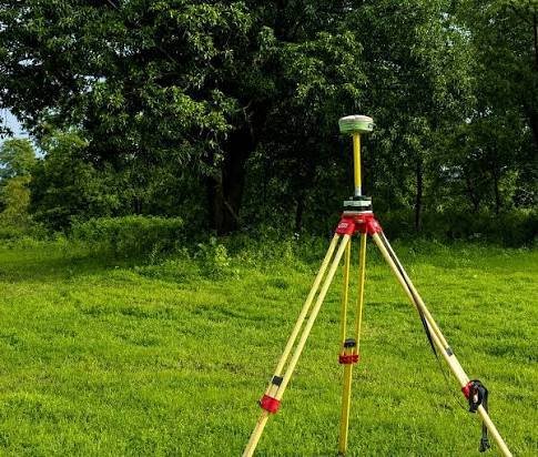
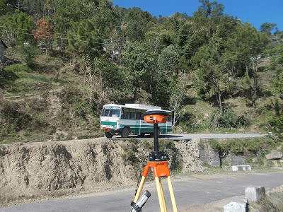
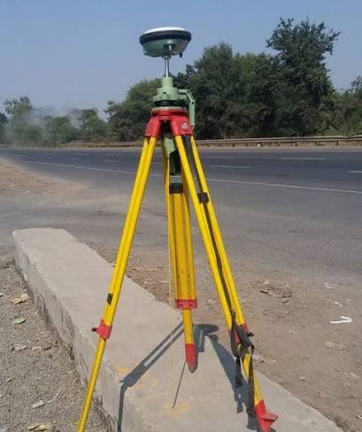
Every survey on a project is only as reliable as the control it is tied to. DGPS (Differential GPS) surveys fix accurate positions and levels across large areas, so that topographic, drone, layout and construction surveys all share one framework. Zenith Consultancy provides DGPS survey services for EPC contractors, consultants, developers and government departments.

Our survey teams travel to site, set up the base and rover, and hand over control data your design and site teams can use. This page explains what a DGPS survey is, where it is used and what you receive.

What Is a DGPS Survey and Why It Matters

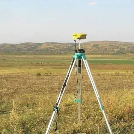
DGPS uses a base receiver at a known point and one or more rovers to correct satellite positioning errors. The result is a much more accurate position and level than a basic GPS reading. Surveyors use it to set control points, benchmarks and coordinate networks across wide or remote sites.

Without a common control network, different survey teams can end up with drawings that do not match. DGPS surveys prevent this by giving the whole project one coordinate and level reference.

Where DGPS Surveys Are Used

Project control

Control points and benchmarks are fixed at the start so that topographical, layout and drone surveys tie together.

Long corridors

Railways, highways, canals and transmission routes run over many kilometres. DGPS carries control along the alignment without the error build-up of long traverses. Our railway survey consultancy and highway survey work rely on it.

Remote and hilly sites

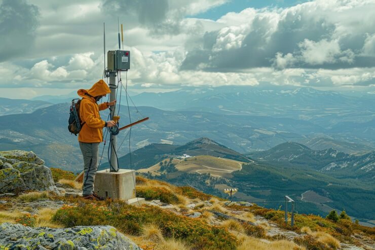
Dam sites, hydropower projects and hill roads are hard to traverse on foot. DGPS fixes points across such terrain quickly, which is why it supports our dam survey services.

Ground control for drones

Drone surveys need accurately fixed ground control points. DGPS provides them.

Boundary and mapping work

Large plots and project areas can be fixed and mapped with DGPS where open sky allows.

Limits

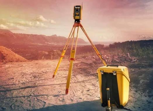
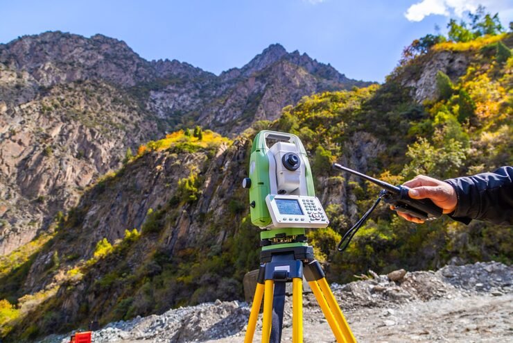
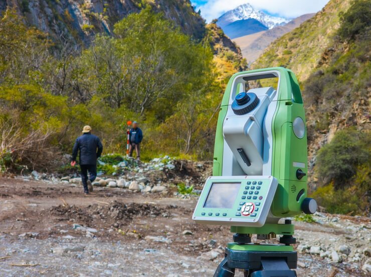
Satellite signals weaken under dense tree cover, near tall structures and inside deep cuts. In such areas we use a Total Station from DGPS-fixed control.

Our DGPS Survey Process, Step by Step

Equipment and Technology

We use survey-grade DGPS receivers with base and rover setups, along with processing software for adjustment and reporting. Control fixed by DGPS is used to set up Total Station work, drone ground control and layout surveys. Results can be supplied in the coordinate system your project uses.

Deliverables You Receive

DGPS for Government Tenders and Large Projects

We provide survey services for government tenders and large public works, with a clear scope, rate and deliverable list. Zenith is available as a GeM survey vendor for departments and agencies that procure survey services through the portal. Larger projects can receive control data in stages, so that other survey teams can start work earlier.

Cost Factors

When you compare DGPS survey quotes, check the area or corridor length, the number of control points, the accuracy required, the observation time needed and the site access. We do not use a flat rate for every site. Send us the location, area and scope, and we will share a quotation.

Why Choose Zenith Consultancy

A good DGPS survey provider should explain its control method, its checks and its coordinate system. Zenith Consultancy works this way.

Based in Delhi, we work as a survey company in Delhi for projects across India, with teams that travel to your site.

Frequently Asked Questions

What is the difference between GPS and DGPS?

DGPS uses a base station to correct errors in satellite readings, giving much better position and level accuracy than a basic GPS.

No. DGPS needs open sky. Total Station works under cover and in tight spaces. We use both on most projects.

Yes. DGPS fixes the ground control points that keep drone maps accurate.

We work in the system your project specifies and confirm it before starting.

Our Locations

Get a DGPS Survey Quotation

Send us the project location, area and scope, and we will share a quotation.

    Sign up to Privitar’s weekly newsletter to get the latest updates.

    [mc4wp_form id=310]

    We don’t send you any spam

    Copyright © Gerow| All Right Reserved

    Zenith Consultancy provides survey and site investigation services for buildings, railway, highway, dam, transmission line and all types of Infrastructural projects.

    Copyright © 2026 Zenith Consultancy