Our DGPS Survey Process, Step by Step
- Site visit. We walk the plot and review the records, maps and sale deeds you supply.
- Control points. We fix reference points so all measurements share one coordinate system.
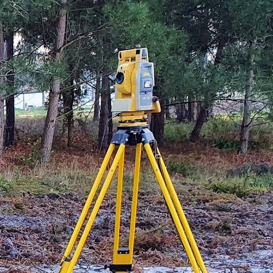
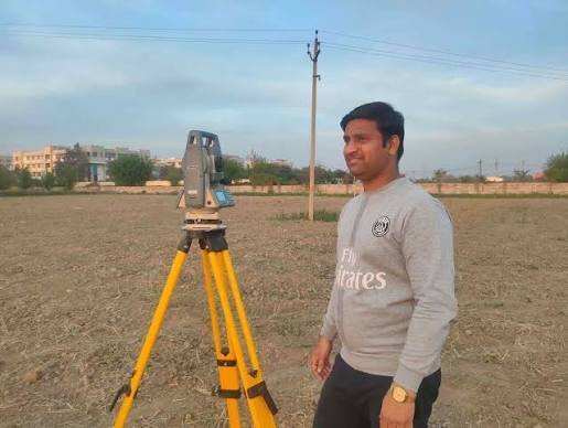
- Field work. We measure boundaries, corners, walls, paths and levels where needed.
- Data processing. We compare measured boundaries with your documents and note differences in area or position.
- Drawings and report. We prepare the boundary plan in CAD and PDF with an area statement and report.