Our DGPS Survey Process, Step by Step
- Site visit. We walk the route or site to find open, stable spots and plan access.
- Control points. We select locations for pillars or markers, spaced to suit the corridor or site.
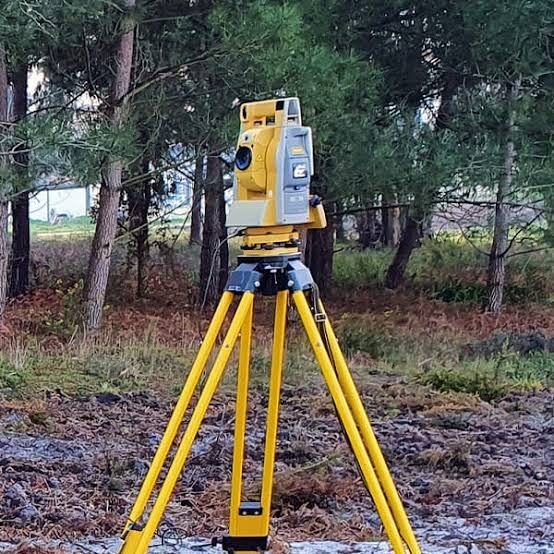
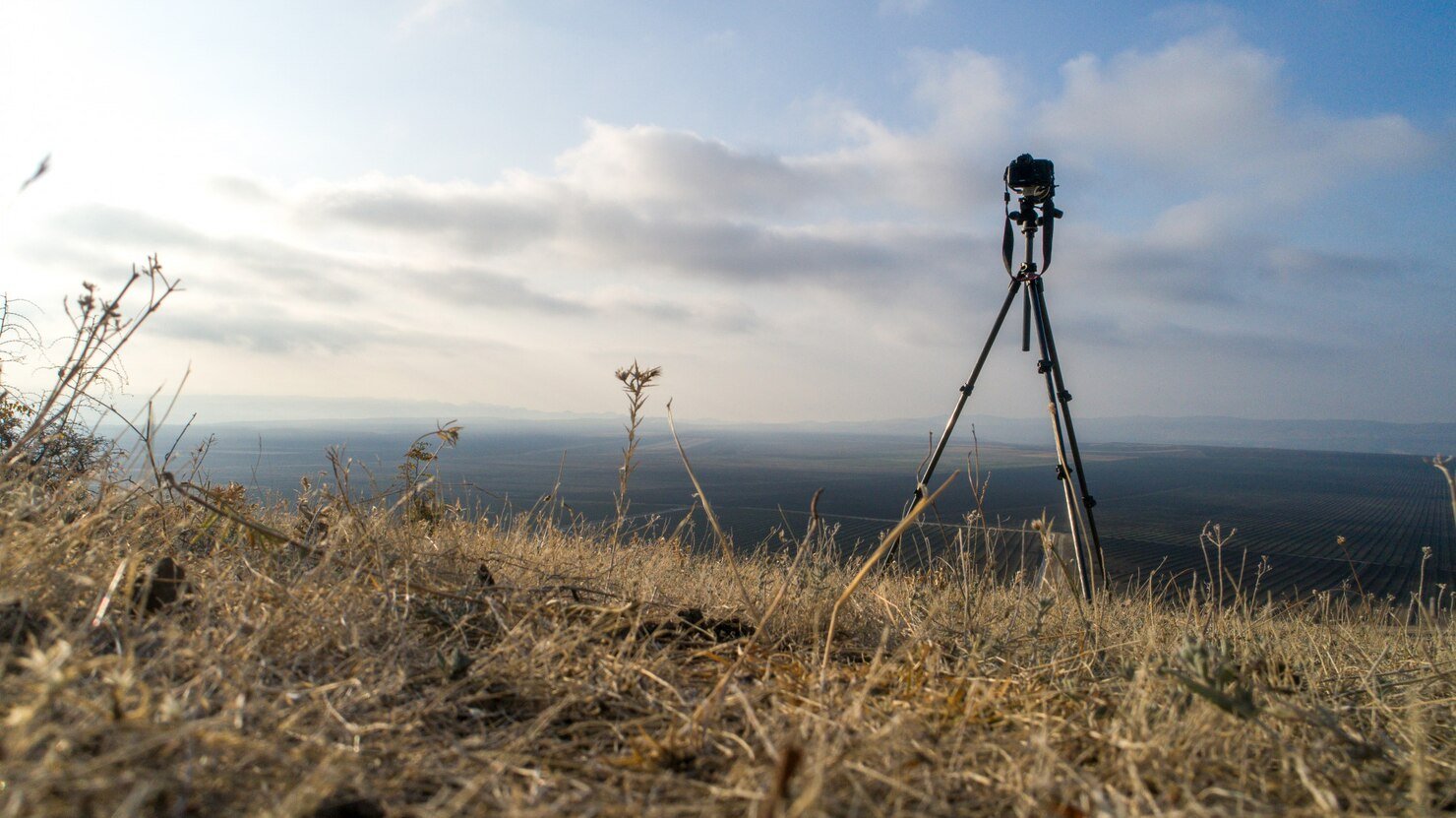
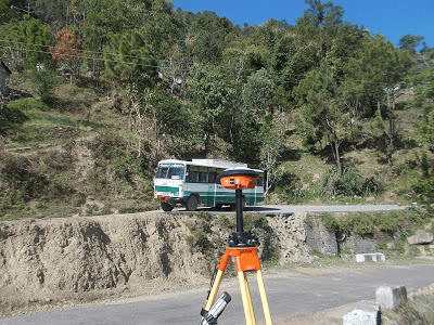
- Field work. Base-rover (RTK) or static observations record each point, with static used for important control.
- Data processing. Raw data is post-processed and checked against known reference points.
- Drawings and report. We issue coordinate lists, description sheets, CAD drawings and a short report.