Our DGPS Survey Process, Step by Step
- Site visit: We review terrain, access, vegetation and the grading or drainage questions the project team needs answered.
- Control points: Reference positions and levels are established to keep elevation data consistent across the site.
- Field work: Total Station and DGPS levelling collect spot levels on a grid or along relevant sections.
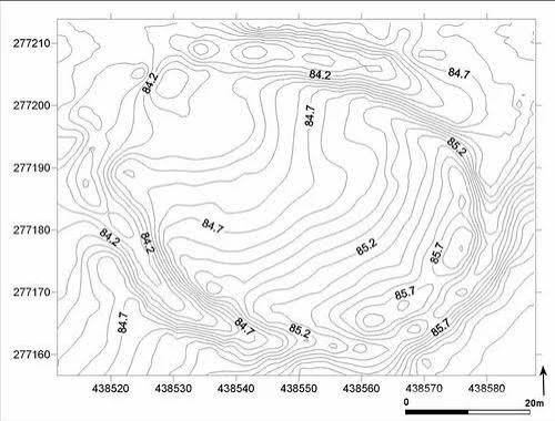
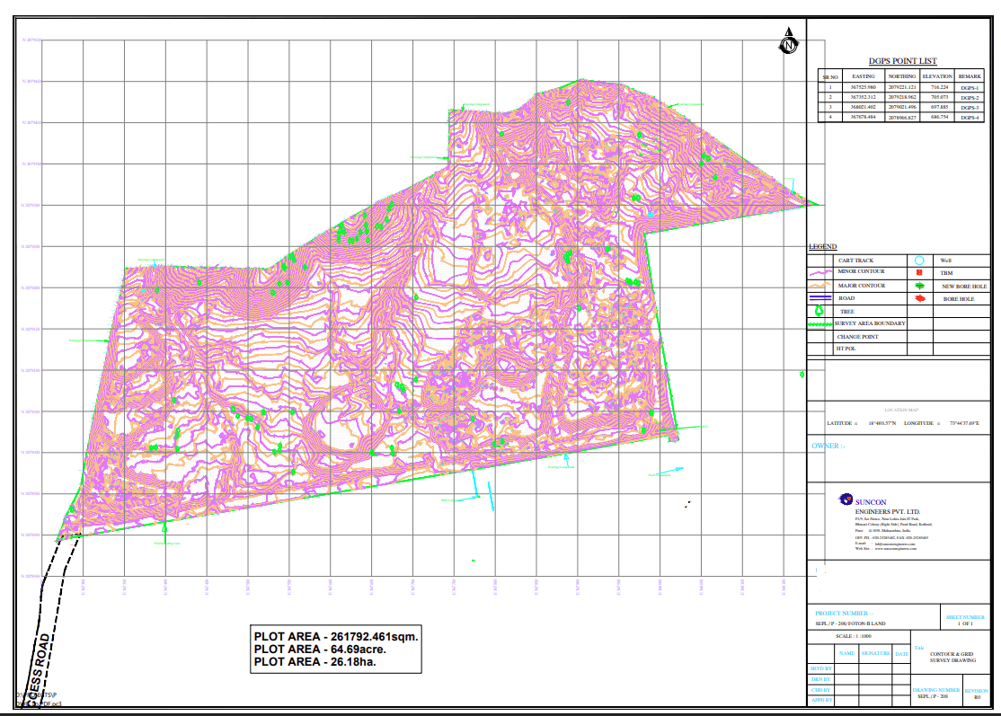
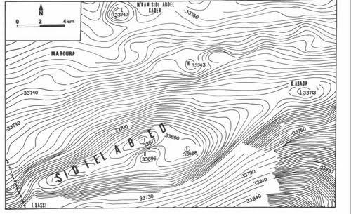
- Data processing: Survey points are processed into contours and, where required, a DEM for design use.
- Drawings and report: CAD contour mapping, spot levels, cross sections and requested volume estimates are prepared.