















An ISO 9001:2015, ISO 14001:2015, ISO 45001:2018 Certified Company

Projects
0 +
Acres Covered
0 K+
  • Precision Data

    DGPS and Total Station accuracy you can design against.

  • Field-Ready Delivery

    Layout and setting-out support right where construction happens.

  • Complete Coverage

    Survey, soil and hydrology from one team.

25+

Years of field experience

Get To Know Us

Survey Solutions Built for Infrastructure

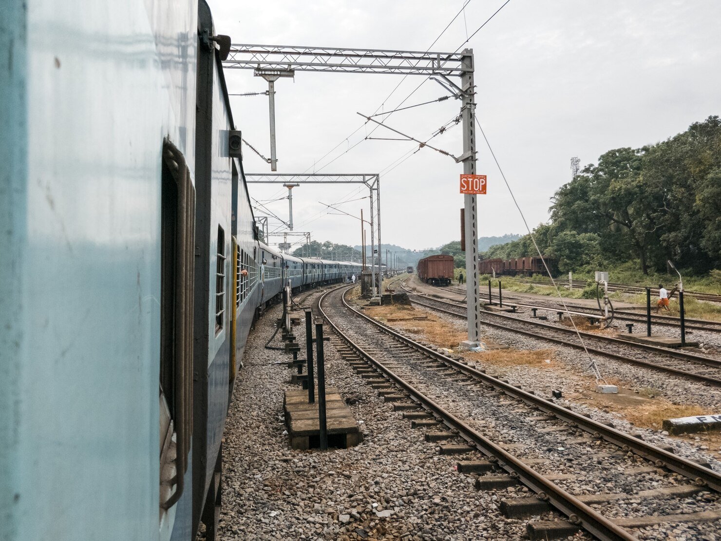
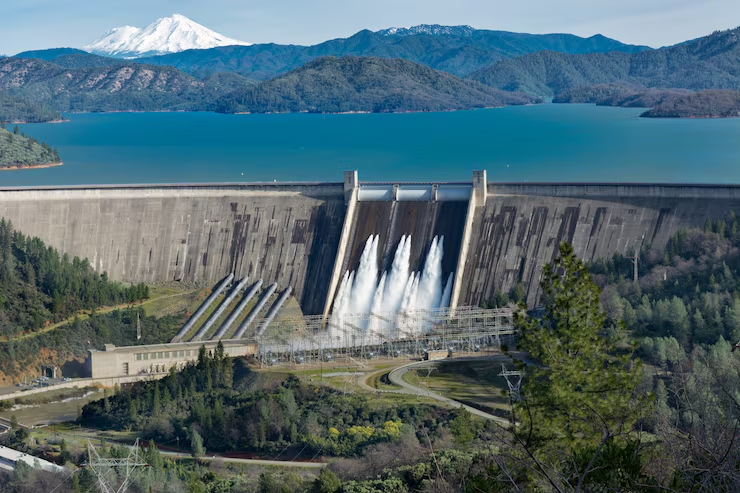
With Over 25 Years Of Hands-On Experience In Land Surveying, NK Mehta Has Delivered More Than 1000 Projects Across The Infrastructure Sector, Including Dams, Buildings, Railways, Transmission Lines And Other Large-Scale Projects.

He Began His Career With Some Of India’s Well-Known Construction And Infrastructure Companies, Including L&T, Gammon, Angelique International And Bhilwara. Over The Years He Has Worked With More Than 100 Clients, Including Powergrid, NTPC And NHAI, And He Is Known For Accurate, Dependable Survey Data On Difficult Sites.

His Core Expertise Includes:

NK Mehta

Founder, Zenith Consultancy
What We Do

Survey and Site Investigation Services

Image
Shape

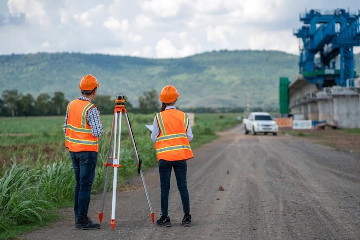
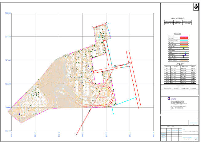
Topographical Survey Services in Delhi, Noida & Gurgaon

Detailed terrain mapping for planning and design.

Image
Shape

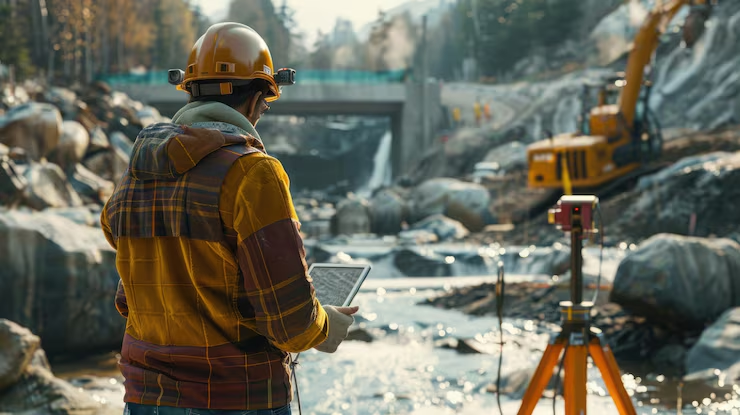
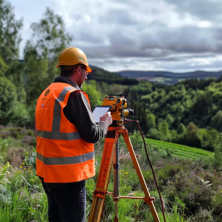
DGPS Survey Services in Delhi, Noida & Gurgaon

High-accuracy control and measurement.

Image
Shape

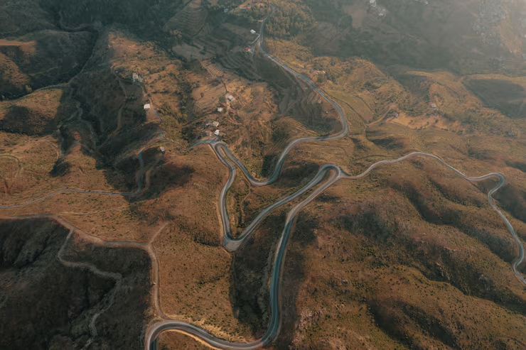
Drone Survey Services in Delhi, Noida & Gurgaon

Fast aerial mapping of large or difficult sites.

Image
Shape

Land Survey Services in Delhi, Noida & Gurgaon

Ground data for foundation and structural design.

What We Do

Survey and Site Investigation Services

A layout survey transfers a design from the drawing to the ground. Every column, foundation, alignment and utility.
Large sites are hard to map because the work has to cover a lot of ground with consistent accuracy. A drone survey handles
Every design starts with an accurate picture of the ground. A topographical survey records what is on site and at what level, so .
Every survey on a project is only as reliable as the control it is tied to. DGPS (Differential GPS) surveys fix accurate positions.
The shape of the land decides how water drains, how roads are graded and how much earth has to be moved. A contour survey
Before a project can be designed, bought, approved or built, someone has to know exactly where the land begins

Our Expertise

Zenith Consultancy brings field survey, mapping and ground investigation under one team, so your project data stays consistent from planning to construction.

Digital Land Survey

We choose the survey method to suit the site, the accuracy you need and the stage of the project.

GIS Mapping

We turn survey data into maps and datasets that planners and project teams can work with.

Geotechnical Investigation

We investigate the ground before design, and we tie test locations to the same survey control.

Company Overview

Data You Can Build On

From alignment surveys to site layout, we give project teams the measurements and reports that reduce rework, redesign and delay on site.

  • +

    Projects

  • k+

    Acre surveyed including all kind of terrains

Guidance from Survey to Site

Our team supports you before, during and after fieldwork, from planning the survey to handing over usable data.

OUR TRACK RECORD

Why infrastructure teams choose Zenith

Accurate data, honest timelines and a team that understands construction realities.

Safety compliance
100%
Repeat clients
80%
Drawings accepted first time
90%
On-time delivery
94%
Data accuracy
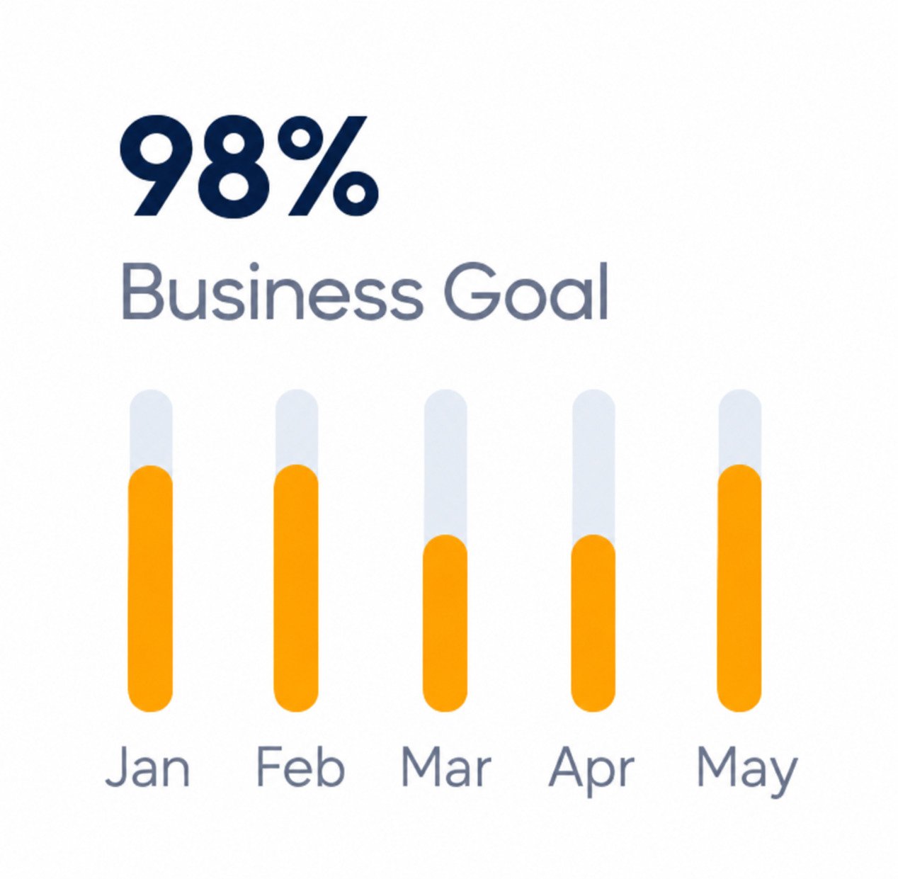
98%
Our Work

Recently Completed Projects

A selection of survey and investigation work across infrastructure sectors.

Call Us 9999952336

Request a Site Visit and Quote

Expert People

The People Behind
Zenith

Experienced surveyors and engineers backed by a client-focused leadership team.

Brooklyn Simmons

Finance Advisor

Jenny Wilson

Business Eng.

Ronald Richards

Marketing

Marvin McKinney

Developer
Our Testimonials

What Customers Say’s About Our Gerow Services

Posted on Google Google
Rohan Arora profile picture
Rohan Arora
Google star 1Google star 2Google star 3Google star 4Google star 5Trustindex verifies that the original source of the review is Google.
Zenith’s team explained every contour and elevation detail clearly.
Posted on Google Google
Abhishekh Dubey profile picture
Abhishekh Dubey
Google star 1Google star 2Google star 3Google star 4Google star 5Trustindex verifies that the original source of the review is Google.
Smooth workflow – from reconnaissance to final drawing!
Posted on Google Google
Avinash Reddy Ankireddy profile picture
Avinash Reddy Ankireddy
Google star 1Google star 2Google star 3Google star 4Google star 5Trustindex verifies that the original source of the review is Google.
Highly reliable and Experienced team
Posted on Google Google
Anchita Sachan profile picture
Anchita Sachan
Google star 1Google star 2Google star 3Google star 4Google star 5Trustindex verifies that the original source of the review is Google.
Zenith’s field engineers are technically strong and polite.
Posted on Google Google
Hrishikesh Dhende profile picture
Hrishikesh Dhende
Google star 1Google star 2Google star 3Google star 4Google star 5Trustindex verifies that the original source of the review is Google.
Trusted team for precise land demarcation and layout marking!
Posted on Google Google
Tushar Saneja profile picture
Tushar Saneja
Google star 1Google star 2Google star 3Google star 4Google star 5Trustindex verifies that the original source of the review is Google.
Very reliable and experienced team. Great attention to detail and commitment to clients - highly recommended !

“ Morem ipsum dolor sit amet, consectetur adipiscing elita florai sum dolor sit amet, consecteture.Borem ipsum dolor sit amet, consectetur.

Mr.Robey Alexa

CEO, Gerow Agency

“ Morem ipsum dolor sit amet, consectetur adipiscing elita florai sum dolor sit amet, consecteture.Borem ipsum dolor sit amet, consectetur.

Samuel Peters

CEO, Gerow Agency

“ Morem ipsum dolor sit amet, consectetur adipiscing elita florai sum dolor sit amet, consecteture.Borem ipsum dolor sit amet, consectetur.

Robert Fox

CEO, Gerow Agency
Flexible Pricing Plan

We’ve offered the best
pricing for you

Ever find yourself staring at your computer screen a good consulting slogan to come to mind? Oftentimes.

Monthly Yearly

Basic Plan

$19.00/month

$119.00/year

  • Icon 5000 User Activities
  • Icon Unlimited Access
  • Icon No Hidden Charge
  • Icon 03 Time Updates
  • Icon Figma Source File
  • Icon Many More Facilities
Popular

Team Plan

$49.00/month

$499.00/year

  • Icon 5000 User Activities
  • Icon Unlimited Access
  • Icon No Hidden Charge
  • Icon 03 Time Updates
  • Icon Figma Source File
  • Icon Many More Facilities

Enterprise Plan

$99.00/month

$999.00/year

  • Icon 5000 User Activities
  • Icon Unlimited Access
  • Icon No Hidden Charge
  • Icon 03 Time Updates
  • Icon Figma Source File
  • Icon Many More Facilities
News & Blogs

Read Our Latest Updates

Ever find yourself staring at your computer screen a good consulting slogan to come to mind? Oftentimes.

DGPS Survey

DGPS vs Total Station: Which Survey Method Suits Your Project?

On most project sites, that question comes down to two instruments: DGPS

dgps-survey-services-6ae30e0d14f12 DGPS Survey

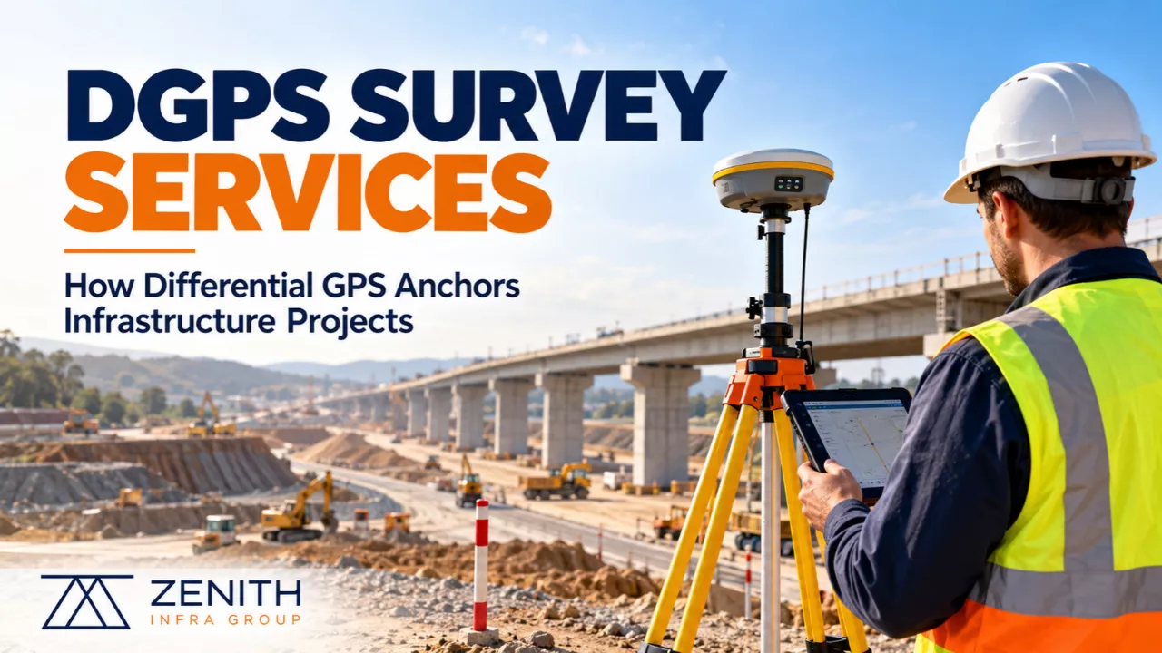
DGPS Survey Services: How Differential GPS Surveys Anchor Infrastructure Projects…

Every drawing on a construction project rests on a few points in

Drone Survey

How Drone Surveys Are Speeding Up Infrastructure Planning

Infrastructure planning runs on data, and the first dataset is always the

Request a Call Back

Tell us about your project and we will get back to you within one working day.