 NK Mehta
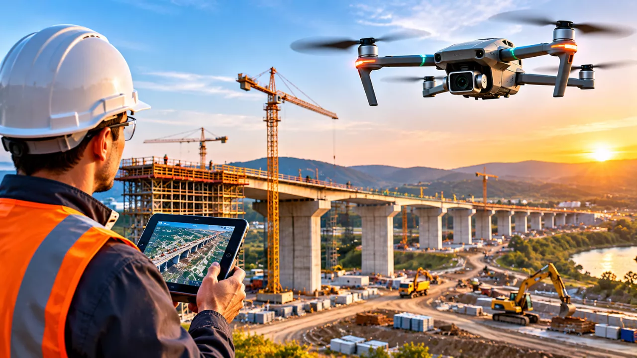
Walk onto any large construction site today and you may hear it before you see it. A small drone hums overhead, tracing a neat grid across the earthworks. A few years ago, that job belonged to a survey crew with tripods and several long days. Now it often takes an afternoon.
Drone technology in infrastructure has moved well beyond aerial photos for marketing brochures. Engineers, contractors and project owners now rely on drones to plan, design, build and inspect highways, bridges, railways, dams and power networks. As a result, the way these projects come together is changing at almost every stage.
This guide explains where drones add real value, how they fit into modern design tools, and what limits teams still need to manage.
Faster, Safer Surveys: Where Drone Technology Makes Its First Impact
Every infrastructure project starts with an accurate picture of the land. Traditionally, that meant ground teams measuring point by point, often across steep slopes, rivers or live roads. Drones change this by capturing hundreds of overlapping images in a single flight. Software then stitches those images into detailed maps and 3D terrain models through a process called photogrammetry.
For dense vegetation or complex ground, many teams now fit drones with LiDAR sensors. LiDAR fires laser pulses that can reach the ground through gaps in tree cover. Consequently, engineers get a far clearer view of the true terrain beneath forests and scrub.
Key survey outputs drones can deliver include:
- Orthomosaic maps that are accurate, to-scale aerial images of the whole site
- Digital terrain models that show ground levels for drainage and road alignment
- Point clouds made of millions of measured points for detailed 3D work
- Volume calculations for stockpiles, cut-and-fill and earthworks
That said, drones rarely replace surveyors outright. Instead, surveyors set ground control points and check results, so the aerial data stays reliable.
How Drone Data Shapes Smarter Infrastructure Design
Good design depends on good data. Once drone surveys feed into Building Information Modelling (BIM) and civil design software, designers can work with the site as it really is. For example, a highway team can test several route options against true ground levels before a single machine arrives.
Building Digital Twins of Real Sites
Moreover, repeat flights allow teams to build a digital twin. This is a live 3D model that updates as the project moves forward. Owners, designers and contractors can all view the same model, even from different cities. In turn, disagreements over “what is actually on site” become much easier to settle.
Catching Design Clashes Early
Drone models also help spot problems early. A planned drainage channel might clash with an existing utility line, or a bridge abutment might sit on weaker ground than expected. Finding these issues on a screen costs far less than discovering them during excavation.
Tracking Construction Progress and Improving Site Safety
During construction, drones become the project’s eyes in the sky. Weekly or even daily flights show exactly how much work is complete. Project managers can then compare progress against the design model and the schedule. If a section falls behind, they see it quickly rather than at the end of the month.
Safety is another major benefit. Inspecting a tall bridge pier, a transmission tower or a dam face once meant rope access, scaffolding or lane closures. Today, a drone with a high-zoom or thermal camera can often do the first check from a safe distance. Workers then go up only when a real defect needs hands-on attention.
On a typical site, drones support:
- Progress reports with dated aerial images for clients and lenders
- Earthworks tracking, so contractors are paid for actual volumes moved
- Inspections of hard-to-reach structures such as bridge decks and towers
- Thermal checks on solar farms, pipelines and electrical equipment
- Clear records that help resolve disputes and support insurance claims
Traditional Methods vs Drone Technology in Infrastructure
The table below compares common project tasks done the conventional way and with drones. Exact results always depend on site size, terrain, equipment and local rules.
| Project Task | Traditional Method | With Drone Technology | Main Advantage |
|---|---|---|---|
| Topographic survey | Ground crews with GNSS rovers and total stations | Photogrammetry or LiDAR flights with ground control points | Large areas covered much faster |
| Earthworks volumes | Manual spot measurements and estimates | 3D models comparing before and after surfaces | More precise quantities for payment |
| Progress monitoring | Site walks and written reports | Regular aerial maps compared with the design model | Clear visual record over time |
| Structural inspection | Rope access, scaffolding or lift trucks | Close-range visual and thermal imaging | Less time spent working at height |
| Stakeholder updates | Static photos and drawings | Aerial video and interactive 3D models | Easier for non-engineers to understand |
The Real Challenges Teams Still Face
Despite the benefits, drones are not a magic fix. Weather is the most obvious limit, because strong wind, heavy rain and low cloud can ground flights for days. Similarly, battery life restricts how long a single flight can last, so large corridors need careful planning.
Regulation matters just as much. Most countries require registered drones, trained pilots and permission to fly near airports, crowds or sensitive sites. Long linear projects, such as pipelines and railways, often need beyond-visual-line-of-sight flights, which usually call for special approval.
Finally, the data itself takes work. A single survey can produce huge files that need processing power, storage and skilled people to interpret. In other words, the drone is only half the system. The real value comes from teams who know how to turn raw images into sound engineering decisions.
Drone technology in infrastructure has become a practical, everyday tool rather than a novelty. It helps teams survey faster, design with better data, build with fewer surprises and inspect assets more safely. For owners and contractors planning major projects, the question is no longer whether to use drones. Rather, it is how to fit them into the workflow from day one.
Frequently Asked Questions
How are drones used in infrastructure projects?
Drones are used for land surveys, 3D mapping, earthworks measurement, progress tracking and structural inspections. They collect accurate site data quickly, which engineers then use for design and decision-making.
Can drones replace traditional land surveyors?
No. Drones speed up data collection, but qualified surveyors still set ground control points, check accuracy and sign off on results. The two work best together.
What is the difference between photogrammetry and LiDAR drones?
Photogrammetry builds 3D models from overlapping photos and works well on open ground. LiDAR uses laser pulses and performs better under vegetation, where it can capture the true ground surface.
Do you need permission to fly drones on construction sites?
In most countries, yes. Rules vary by location, but they usually cover drone registration, pilot certification and flight approvals near airports or populated areas.