Brochure

when an unknown printer took ga lley offer typey anddey.

PDF. Download DOC. Download

If You Need Any Help Contact With Us

+91 9717087858

Get A Free Quote

    Topographical Survey Services in Ahmedabad & Bhopal

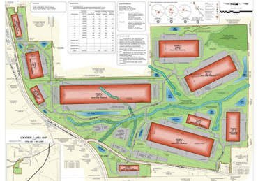
    A typical site in Ahmedabad or Bhopal might be an industrial park, a rail corridor or a new city plot. A topographical survey in Ahmedabad or Bhopal maps such a site on one plan, with levels, roads, structures, trees and water shown as they exist. Zenith Consultancy serves EPC contractors, consultants, developers and government departments across the region.

    Our survey teams travel to site and work to the accuracy your design needs. This page explains what the survey maps, how plains and corridor projects shape the work and what you receive.

    What Is a Layout Survey and Why It Matters

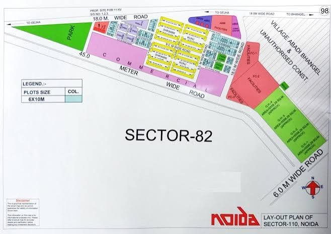
    A topographical survey maps natural and man-made features on one plan. These include ground levels, roads, buildings, trees, water bodies, utilities and boundaries. It is the base for DPRs, design and approvals on most infrastructure projects.

    For a project manager, the plan gives every consultant one picture of the existing ground. Designers can then settle alignments, drainage and quantities on measured facts. The survey maps visible features and does not detect buried services.

    Topographical Survey in Ahmedabad & Bhopal: Terrain, Projects and Challenges

    Ahmedabad

    Ahmedabad’s plains and industrial corridors call for mapping over long, open stretches. Rail and road corridors are surveyed over a defined width, with levels, existing structures and drains plotted along the way. Industrial parks need roads, plot edges and drainage channels mapped before design. Flat ground makes small level changes important, so we record them carefully.

    Bhopal

    A topographical survey in Bhopal often covers new city projects, industrial parks and road or rail corridors. Large sites can hold roads, trees, water channels and scattered structures that designers must see together. We tie all details to fixed control, so separate packages fit together. Bhopal consultants then plan alignments and layouts from one base plan.

    Our Layout Survey Process, Step by Step

    Equipment and Technology

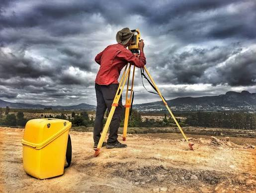
    We use Total Station, DGPS and, for large areas, drone mapping. DGPS and drone data cover wide open plains efficiently, while a Total Station records detail near structures. CAD software turns the data into a plan with contours. Digital terrain model (DTM) data is prepared for design use.

    Deliverables You Receive

    Industries and Projects We Serve

    We work with EPC contractors, consultants, developers and government departments. In Ahmedabad and Bhopal, topographical mapping supports DPRs, rail corridors, industrial parks, new city projects and road work. Highway packages use the plan to plan ROW. Dam and canal studies use the same kind of base map.

    Cost Factors

    When you compare quotes for topographical survey cost Ahmedabad projects, check the area or length, the density of features, vegetation and survey method. We do not use a flat rate for every site.

    Ground methods and drone mapping suit different parts of a large site. Send us the location, area or length and scope for a quotation.

    Why Choose Zenith Consultancy

    A topographical survey company Ahmedabad teams hire should state the scale and detail it will map and show how it checks its data. Zenith Consultancy works this way.

    Our topographical survey services Ahmedabad and Bhopal consultants use arrive in CAD and PDF.

    Frequently Asked Questions

    What decides the cost of a topographical survey on a large site?

    Cost depends on the area or length, density of features, vegetation and survey method. We do not use a flat rate for every site. Send the location, area or length and scope, and Zenith Consultancy will share a written quotation.

    Time depends on the size of the site, the detail required, access and weather. We confirm a schedule in the quotation. On larger projects we can share sections of the plan in stages, so design can start earlier. Tell us your deadline early, so we can plan the field teams.

    Yes, we agree the corridor width with your consultant, then map levels, structures, drains and roads along it. Control points repeat along the line, so the plan stays consistent. Sections follow the alignment, ready for design. Share the alignment drawing, and we will plan the survey around it.

    Yes, Zenith works as a topographical survey company Bhopal clients can brief directly. We map roads, trees, water channels, structures and levels on one plan. Share the site extent and the scale your consultant needs for a quotation, and we will plan the field work around them.

    The width comes from your consultant or tender documents, because it depends on the design and the land needed. A wider corridor means more points and field time. Share the width and alignment with us, and we will plan the survey around them.

    Request a Quote

    Planning a topographical survey in Ahmedabad or Bhopal? Share your site location, area or length and the deliverables you need. Call or message Zenith Consultancy, and we will respond with a quotation.

    Sign up to Privitar’s weekly newsletter to get the latest updates.

    [mc4wp_form id=310]

    We don’t send you any spam

    Copyright © Gerow| All Right Reserved

    Zenith Consultancy provides survey and site investigation services for buildings, railway, highway, dam, transmission line and all types of Infrastructural projects.

    Copyright © 2026 Zenith Consultancy