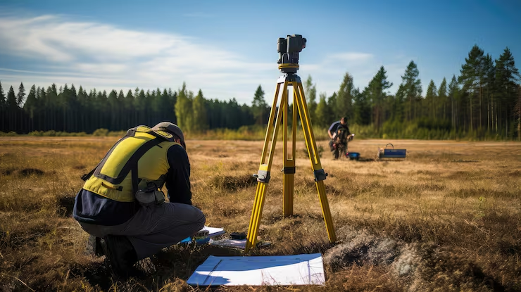
Before a project can be designed, bought, approved or built, someone has to know exactly where the land begins and ends and what sits on it. A land survey answers that. Zenith Consultancy provides land survey services for developers, EPC contractors, consultants and government departments, using Total Station and DGPS equipment.

Our survey teams travel to site, measure the land to the scope you give us and hand over scaled plans your team can use. This page explains what a land survey covers, how we carry it out and what you receive.

What Is a Land Survey and Why It Matters

A land survey measures and maps a parcel of land. It fixes boundaries, calculates area, records the position of existing features and shows the plot in relation to roads, structures and neighbouring land. The output is a scaled plan, usually in CAD, with dimensions and coordinates.

Accurate land data protects projects from boundary disputes, wrong area calculations and design clashes. It also gives approvals, tendering and site handover a reliable base.

Where Land Surveys Are Used

Project planning and development

Developers survey a plot before design to know its true area, shape and constraints.

Land acquisition for infrastructure

Railway, highway, canal and transmission projects need accurate land plans along the alignment to plan acquisition and compensation. As a railway survey consultancy and highway survey company India projects can use, we support this stage.

Boundary marking and verification

Boundary points are fixed on the ground, or existing boundaries are checked against records and drawings.

Site handover and checks

Land is surveyed at handover so that all parties agree on the area and features at the start.

Pre-construction work.

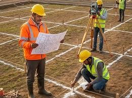
Our pre-construction survey services give contractors a verified site plan before mobilisation.

Types of Land Survey We Carry Out

Our Land Survey Process, Step by Step

Equipment and Technology

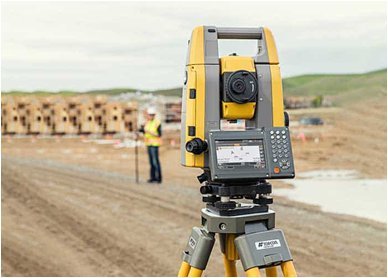
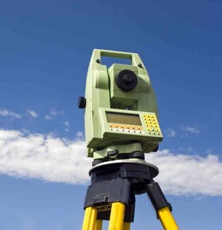
We use Total Station instruments for precise measurement of boundaries and features, and DGPS for control and for open land. For large plots, drone data can show the site as a scaled aerial map, while ground survey fixes the boundary points. Processing software prepares plans, area calculations and coordinate lists.

Deliverables You Receive

Land Survey for Government Work and Tenders

We provide survey services for government tenders and for departments that need survey support on public land and projects. Zenith is available as a GeM survey vendor for agencies that procure survey services through the portal. Our quotes set out scope, rate and deliverables clearly, so evaluation is simple.

Cost Factors

When you compare land survey quotes, check the area, the number of boundary points, the amount of detail to be captured, the terrain and vegetation, the site access and the drawings required. We do not use a flat rate for every site. Send us the location, area, records and scope, and we will share a quotation.

Why Choose Zenith Consultancy

A good land survey company should explain how it ties its work to a known system and how it checks its own plans. Zenith Consultancy works this way.

Local Support Across Delhi NCR and Beyond

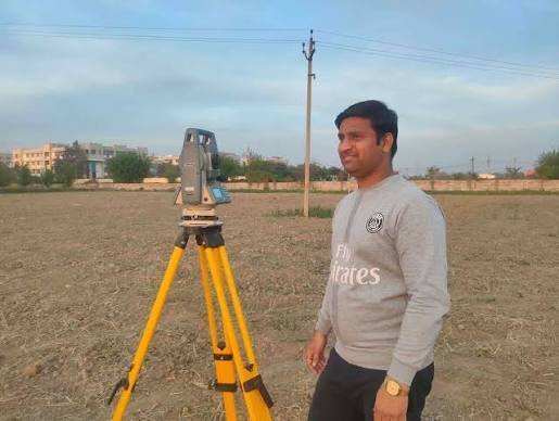
If you are searching for land surveyors near me, Zenith works as a land survey company Delhi NCR developers and contractors can call for site work, and our teams travel to projects in other states as well. Share your location and scope, and we will confirm availability.

Frequently Asked Questions

What documents do you need for a land survey?

Any sale deed, site plan, map or earlier survey drawing you hold, along with the location and what you want surveyed.

Yes. We can fix and mark boundary points on request.

No. A land survey fixes boundaries and area. A topographical survey adds levels, contours and detailed features. We can combine them.

Yes. We support departments, PSUs and their contractors, including through GeM.

Our Locations

Get a DGPS Survey Quotation

Send us the project location, area, available records and scope, and we will share a quotation.

    Sign up to Privitar’s weekly newsletter to get the latest updates.

    [mc4wp_form id=310]

    We don’t send you any spam

    Copyright © Gerow| All Right Reserved

    Zenith Consultancy provides survey and site investigation services for buildings, railway, highway, dam, transmission line and all types of Infrastructural projects.

    Copyright © 2026 Zenith Consultancy