 NK Mehta
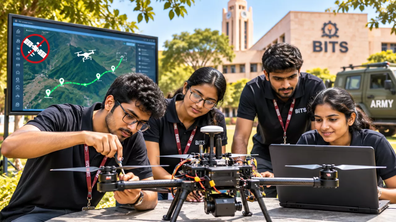
ome of the best engineering ideas start with a simple question. For Naman Kasliwal and Shiv Patil, students at BITS Pilani’s Hyderabad campus, that question was about another planet. How would a drone find its way on Mars, where there are no GPS satellites to guide it? Their search for an answer has now produced a GPS-free drone navigation system that the Indian Army is actively testing.
What began as a space-exploration puzzle has turned into a serious defence project. Moreover, it shows how student-led innovation in India is moving from classrooms and robotics labs to real field trials.
The Mars Question That Started It All
On Earth, most drones depend heavily on GPS to know where they are. Mars, however, has no satellite navigation network of that kind. A drone flying there would need another way to understand its position and movement.
Naman and Shiv set out to solve exactly that problem. Their early goal was a navigation system that could work for drones on the Red Planet. During this work, an Indian Army officer pointed out that the same technology could be valuable for military use. As a result, the duo reshaped their project around the needs of the armed forces.
How the GPS-Free Drone Navigation Module Works
The students founded a startup called Beejan and developed the Beejan Autonomous Navigation Module. Instead of relying fully on satellite signals, the system reads the world around the drone.
Here is the basic idea:
- Camera-based vision: The module uses images and visual data from cameras mounted on the drone.
- Position estimation: It works out where the drone is and how fast it is moving based on its surroundings.
- Lightweight design: The software is built to run on small, low-weight hardware.
- Easy integration: It is being designed to fit into drone systems that already exist.
This matters because GPS signals can be jammed or spoofed in conflict zones. A drone that can still navigate without them is far harder to disrupt. In addition, the team says the drones were built using fully indigenous components, combining robotics with artificial intelligence.
Field Tests and the Indian Army’s Interest
The technology has not stayed on paper. It has been tested at several military locations, including Secunderabad and Leh. The students also gave a demonstration to the Indian Army’s Southern Command.
Following that, three modules were sent to Pokhran for further trials. Meanwhile, eight other Army units have shown interest in the system. For a student startup, that level of early military attention is rare.
| Detail | Information |
|---|---|
| Founders | Naman Kasliwal and Shiv Patil |
| Institution | BITS Pilani, Hyderabad Campus |
| Startup | Beejan |
| Core product | Beejan Autonomous Navigation Module |
| Original inspiration | Drone navigation on Mars without GPS |
| Navigation method | Camera and visual data from surroundings |
| Test locations | Secunderabad, Leh, Pokhran |
| Army demonstration | Southern Command |
| Further interest | Eight other Army units |
| Funding support | ₹25 lakh grant under Curiosity-2025 at IIT Gandhinagar |
A Strong Foundation in Student Robotics
The duo’s confidence did not appear overnight. While studying at BITS Hyderabad, both were part of a robotics team called Thriveforce. That team finished second in a robotics competition held at IIT Bombay.
That experience taught them how to handle difficult technical problems under pressure. Later, their startup received a ₹25 lakh grant under the Curiosity-2025 programme at IIT Gandhinagar. This early funding helped them move from concept to working prototype.
What Comes Next for the GPS-Free Drone Startup
Right now, the team’s focus is clear. They want to integrate the navigation module into a complete drone system and secure final approval from the Army. To get there, they are exploring partnerships with drone manufacturers.
Still, their ambitions go beyond drone navigation. The founders hope to build a wider range of autonomous systems using AI and other advanced technologies. If their current trials succeed, this GPS-free drone technology could become a useful part of India’s growing push for homegrown defence tech.
Why This Story Matters
India’s defence sector increasingly values self-reliance and fast innovation. Stories like this one show that young engineers can contribute directly to that goal. Above all, it proves that a curious question, asked at the right time, can lead somewhere unexpected.
FAQs
1. Who built the GPS-free drone navigation technology?
Naman Kasliwal and Shiv Patil, students of BITS Pilani’s Hyderabad campus, developed it through their startup, Beejan.
2. How does the drone navigate without GPS?
It uses cameras and visual data from its surroundings to estimate its position and speed, rather than depending on satellite signals.
3. Has the Indian Army tested this technology?
Yes. It has been tested in Secunderabad and Leh, demonstrated to the Southern Command, and three modules were sent to Pokhran for further trials.
4. What inspired the idea?
The students first wanted to solve drone navigation on Mars, where GPS satellites are not available.