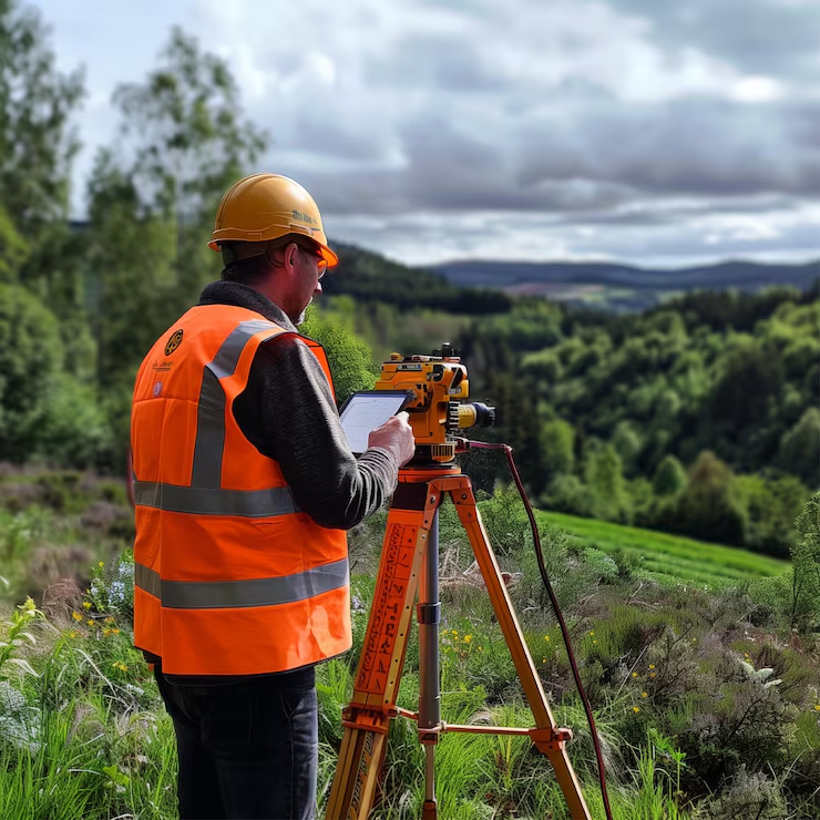
Topographical Work: Kullu, Himachal Pradesh

  • Client:Orris Infrastructure Private Limited
  • Location:Kullu, Himachal Pradesh
  • Sector:Infrastructure
  • Services:Topographical Survey, DGPS Survey
  • Instruments:Drone/DGPS
  • Area covered:Approx. 700 acres
  • Duration:2 months

Project overview

Zenith Consultancy carried out a topographical survey of a large site in Kullu for Orris Infrastructure Private Limited. The site had heavy elevation change and dense vegetation, which made surveying difficult. The survey gave the client accurate terrain data to plan around.

The challenge

The site was steep and heavily vegetated. Dense cover made it hard to get clear lines of sight, and the large elevation changes made ground access slow. Conventional methods such as Total Station and drone survey were not practical in these conditions.

Our approach

We chose DGPS because it does not depend on line of sight between points. The team covered the terrain on foot and captured positions and elevations across the site, recording the full range of ground levels.

Scope of work

Deliverables

Outcome

We covered about 700 acres in 2 months despite the terrain, and delivered a detailed report. The client was very happy with the work.